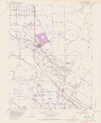
1954 Map of Cotati
USGS Topo · Published 1969About this map
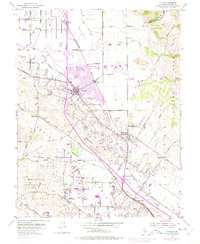
The Northwestern Pacific railroad corridor anchors this survey of southern Sonoma County, showing the region during a period of significant suburban transformation. Centered on the city of Cotati, the map reveals the emergence of Rohnert Park and the campus of Sonoma State College, both shown in purple tint to indicate urban expansion through the late 1960s. This growth contrasts with the surrounding agricultural and industrial landscape, marked by several quarries and the expansive Cotati Naval Auxiliary Air Station (Inactive).
Find a feature on this map
63 named features on this map. Tap any name to fly to it.
Don’t see what you’re looking for? This feature index may not catch every label — zoom into the map to look around manually.
Map Details
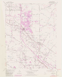
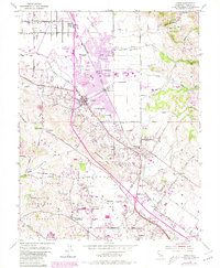
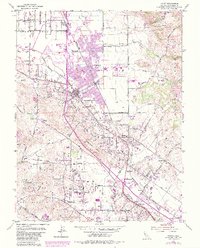
Editions of this 1954 Cotati Map
8 editions found
Other maps of this area

1914 · Petaluma
USGS Topo · 1:62,500

1916 · Santa Rosa
USGS Topo · 1:62,500

1916 · Point Reyes
USGS Topo · 1:48,000

1918 · Point Reyes
USGS Topo · 1:62,500

1935 · Sebastopol
USGS Topo · 1:48,000

1942 · Sebastopol
USGS Topo · 1:62,500

1942 · Petaluma
USGS Topo · 1:62,500

1944 · Santa Rosa
USGS Topo · 1:62,500

1947 · Santa Rosa
USGS Topo · 1:250,000

1949 · Santa Rosa
USGS Topo · 1:250,000