
1956 Map of Cotton
USGS Topo · Published 1958About this map
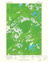
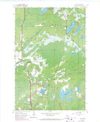
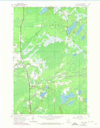
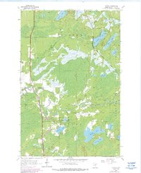
The Whiteface River and its tributary, the Paleface River, wind through a landscape of dense timber and wetlands in this mid-century survey of St. Louis County. Much of the eastern terrain falls within the Cloquet Valley State Forest, where numerous glacial lakes such as Strand Lake, Dinham Lake, and Kauppi Lake are interspersed with low-lying marshland. The settlement pattern is concentrated along the Duluth Winnipeg and Pacific railroad line, which bisects the quadrangle from north to south, connecting the small communities of Cotton and Melrude. Local landmarks like County Sch No 100 and Riverview Cem suggest a small but established rural community centered on the crossroads and the rail corridor. The map effectively documents the region's transition from a wild forest and river system to a managed landscape of timber reserves and small-scale rail-side settlements.
Find a feature on this map
24 named features on this map. Tap any name to fly to it.
Don’t see what you’re looking for? This feature index may not catch every label — zoom into the map to look around manually.
Map Details
Editions of this 1956 Cotton Map
5 editions found
Other maps of this area

1951 · Central Lakes
USGS Topo · 1:24,000

1951 · Zim
USGS Topo · 1:24,000

1951 · Makinen
USGS Topo · 1:24,000

1953 · Canyon
USGS Topo · 1:24,000

1953 · Shaw
USGS Topo · 1:24,000

1953 · Payne
USGS Topo · 1:24,000

1954 · Hibbing
USGS Topo · 1:250,000

1956 · Whiteface
USGS Topo · 1:24,000

1957 · Hibbing
USGS Topo · 1:250,000

1958 · Hibbing
USGS Topo · 1:250,000