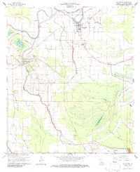
1966 Map of Cottonport
USGS Topo · Published 1986About this map
Cottonport serves as a primary hub of settlement in this mid-1960s landscape, positioned along the Texas and Pacific railroad line near the winding course of Bayou Rouge. The area's social fabric is defined by numerous country churches and local schools, such as Old Zion Ch, St Anthony Sch, and Jerusalem Ch, which anchor the small communities of Evergreen and Karo. The map reveals a sophisticated hydrological network of natural and man-made water bodies, from the prominent Big Buttonwood Lake and the oddly named Jews-harp Lake to the drainage of the Coco Canal.
Find a feature on this map
36 named features on this map. Tap any name to fly to it.
Don’t see what you’re looking for? This feature index may not catch every label — zoom into the map to look around manually.
Map Details
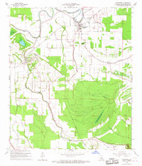
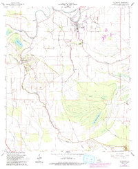
Editions of this 1966 Cottonport Map
3 editions found
Other maps of this area

1940 · Marksville
USGS Topo · 1:62,500

1941 · Voorhies
USGS Topo · 1:62,500

1948 · Bunkie
USGS Topo · 1:62,500

1952 · Lake Charles
USGS Topo · 1:250,000

1953 · Alexandria
USGS Topo · 1:250,000

1953 · Natchez
USGS Topo · 1:250,000

1954 · Lake Charles
USGS Topo · 1:250,000

1954 · Baton Rouge
USGS Topo · 1:250,000

1955 · Odenburg
USGS Topo · 1:62,500

1955 · Alexandria
USGS Topo · 1:250,000