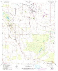
1966 Map of Cottonport
USGS Topo · Published 1993About this map
Cottonport serves as the primary hub of this Avoyelles Parish landscape, situated at a bend in Bayou Rouge. The map captures a transition in the local infrastructure, particularly evident in the dismantled railroad lines that once bridged the gaps between Evergreen and the surrounding agricultural tracts. The terrain is defined by a dense network of waterways including Bayou Huffpower, Choupique Bayou, and the expansive Big Buttonwood Lake, which sits tucked against the elevations of Gum Ridge.
Find a feature on this map
35 named features on this map. Tap any name to fly to it.
Don’t see what you’re looking for? This feature index may not catch every label — zoom into the map to look around manually.
Map Details
Editions of this 1966 Cottonport Map
3 editions found
Other maps of this area

1940 · Marksville
USGS Topo · 1:62,500

1941 · Voorhies
USGS Topo · 1:62,500

1948 · Bunkie
USGS Topo · 1:62,500

1952 · Lake Charles
USGS Topo · 1:250,000

1953 · Alexandria
USGS Topo · 1:250,000

1953 · Natchez
USGS Topo · 1:250,000

1954 · Lake Charles
USGS Topo · 1:250,000

1954 · Baton Rouge
USGS Topo · 1:250,000

1955 · Odenburg
USGS Topo · 1:62,500

1955 · Alexandria
USGS Topo · 1:250,000