
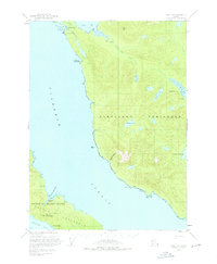
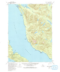
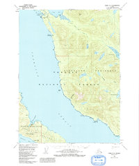
1950 Map of Craig C-1
USGS Topo · Published 1966About this map
Cleveland Peninsula and the eastern shores of Prince of Wales Island dominate this coastal survey, where the maritime economy of Southeast Alaska is etched into the landscape. Small settlements like Meyers Chuck and Stevenstown anchor the remote coastline, while the interior is marked by mining interests such as the Sleeping Beauty Mine and Bert Lide Mine. The geography is defined by deep inlets and narrow passages, with the waters of Clarence Strait and Kasaan Bay providing the primary transit routes between the islands.
Find a feature on this map
31 named features on this map. Tap any name to fly to it.
Don’t see what you’re looking for? This feature index may not catch every label — zoom into the map to look around manually.
Map Details
Editions of this 1950 Craig C-1 Map
4 editions found
Other maps of this area

1949 · Craig C-2
USGS Topo · 1:63,360

1949 · Craig D-2
USGS Topo · 1:63,360

1949 · Craig B-2
USGS Topo · 1:63,360

1949 · Ketchikan C-6
USGS Topo · 1:63,360

1949 · Craig B-1
USGS Topo · 1:63,360

1949 · Craig D-1
USGS Topo · 1:63,360

1950 · Craig B-1
USGS Topo · 1:63,360

1951 · Craig B-2
USGS Topo · 1:63,360

1951 · Craig D-2
USGS Topo · 1:63,360

1951 · Craig C-2
USGS Topo · 1:63,360