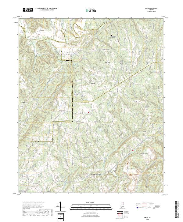
2024 Map of Creel
USGS Topo · Published 2024About this map
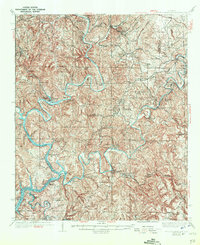
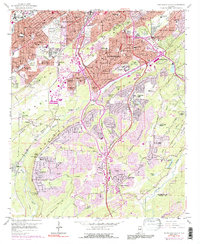
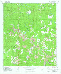
Mulberry Fork winds through the northern reaches of this north Alabama landscape, marking a winding boundary between Walker, Cullman, and Blount Counties. This modern survey illustrates a region where rural crossroads and small communities like Hayden, Corner, and Sloan are linked by a dense network of secondary roads such as Arkadelphia Rd and Sitton Rd. The terrain is defined by prominent peaks including Cannon Mtn, McCarne Mtn, and Greathouse Mtn, which overlook numerous creek systems such as Ward Creek and Price Creek. Local history is anchored by several long-standing institutions, including the Red Hill Church of God Cem and Harmony Cem, alongside legacy educational markers like Corner School Rd and New Bethel School Rd. The map provides a contemporary view of the region's intersectional geography where county lines meet near Partridge Crossroads.
Find a feature on this map
146 named features on this map. Tap any name to fly to it.
Don’t see what you’re looking for? This feature index may not catch every label — zoom into the map to look around manually.
Map Details
Editions of this 2024 Creel Map
This is the sole edition of this map. No revisions or reprints were ever made.
Historical Maps of York Mountain Through Time
32 maps found

1904 Birmingham Coal District
Jefferson County, AL
1905 Bessemer Iron District
Jefferson County, AL
1906 Birmingham Coal District
Jefferson County, AL
1907 Bessemer Iron District
Jefferson County, AL

1927 Adger
Jefferson County, AL

1932 Yolande
Jefferson County, AL

1935 Port Birmingham
Jefferson County, AL
1935 Yolande
Jefferson County, AL
1938 Port Birmingham
Jefferson County, AL
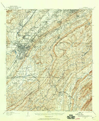
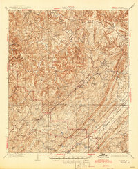
1951 Creel
Jefferson County, AL
1959 Birmingham North
Jefferson County, AL
1959 Birmingham South
Jefferson County, AL
1959 Greenwood
Jefferson County, AL
1971 Gilmore
Jefferson County, AL

1975 Birmingham North
Jefferson County, AL

1975 Birmingham South
Jefferson County, AL

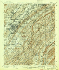
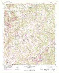
1975 Creel
Jefferson County, AL

1975 Gilmore
Jefferson County, AL

1975 Greenwood
Jefferson County, AL

1975 Yolande NE
Jefferson County, AL

1975 Yolande NW
Jefferson County, AL

1975 Yolande SE
Jefferson County, AL
1980 Mc Calla
Jefferson County, AL
1980 Oak Grove
Jefferson County, AL

1997 Birmingham North
Jefferson County, AL

1997 Birmingham South
Jefferson County, AL
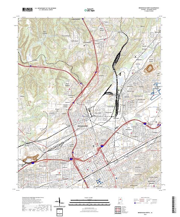
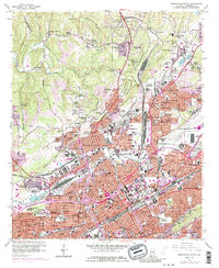
2024 Birmingham North
Jefferson County, AL
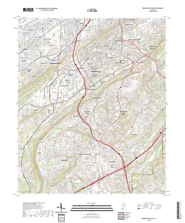
2024 Birmingham South
Jefferson County, AL
2024 Creel
Jefferson County, AL
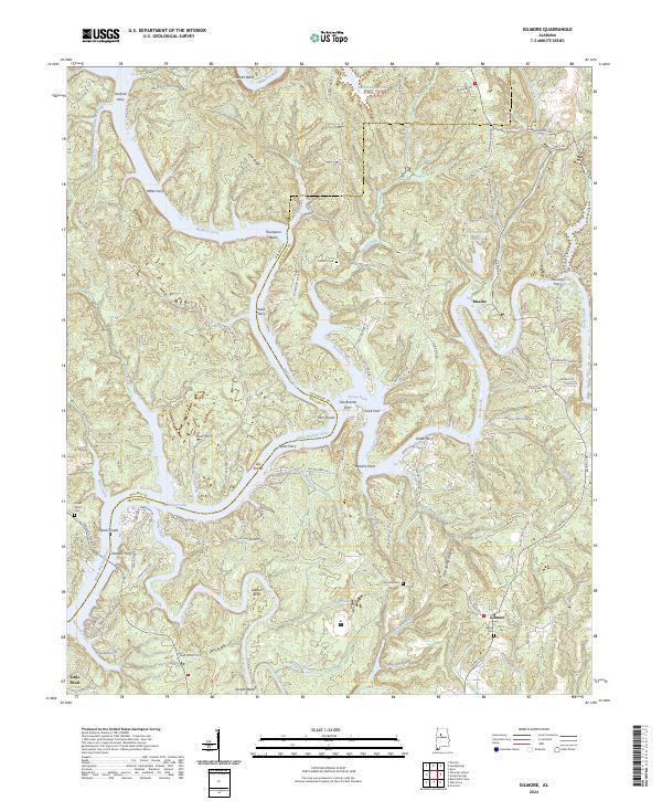
2024 Gilmore
Jefferson County, AL
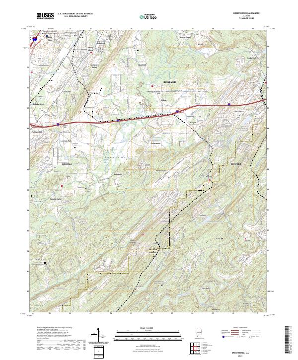
2024 Greenwood
Jefferson County, AL
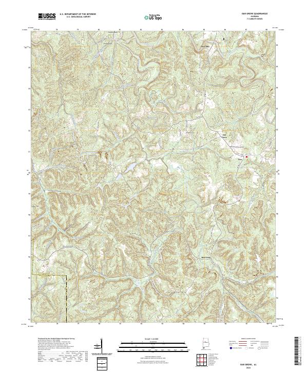
2024 Oak Grove
Jefferson County, AL