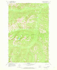
1970 Map of Crimson Peak
USGS Topo · Published 1973About this map
The Bob Marshall Wilderness and Flathead National Forest dominate this 1970 landscape, centered on the high elevations of Crimson Peak. This area in Powell County is defined by a primitive network of trails rather than roads, reflecting the preservation of the backcountry before modern recreation pressures. The Crimson Lake basin and the meadows of Leota Park provide key landmarks for those navigating the headwaters of Youngs Creek and Crimson Creek. The survey also marks the Lolo National Forest boundary along the southern edge, where the Blackfoot Divide Trail (Track) follows the ridgeline near Devine Peak. From the sheer face of Big Slide to the high point of Puma Peak, the map documents a terrain where access was limited to Pack Trails and the natural drainage patterns of the Babcock Creek and Marshall Creek systems.
Find a feature on this map
30 named features on this map. Tap any name to fly to it.
Don’t see what you’re looking for? This feature index may not catch every label — zoom into the map to look around manually.
Map Details
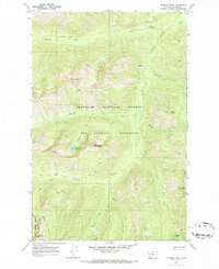
Editions of this 1970 Crimson Peak Map
2 editions found
Other maps of this area

1902 · Ovando
USGS Topo · 1:125,000

1905 · Ovando
USGS Topo · 1:125,000

1955 · Choteau
USGS Topo · 1:250,000

1957 · Choteau
USGS Topo · 1:250,000

1958 · Choteau
USGS Topo · 1:250,000

1962 · Choteau
USGS Topo · 1:250,000

1965 · Morrell Mountain
USGS Topo · 1:24,000
1965 · Seeley Lake East
USGS Topo · 1:24,000

1968 · Dunham Point
USGS Topo · 1:24,000
1970 · Pilot Peak
USGS Topo · 1:24,000