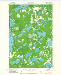
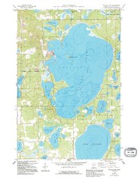
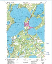
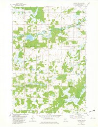
1960 Map of Cross Lake
USGS Topo · Published 1961This historical map portrays the area of Cross Lake in 1960, primarily covering Crow Wing County. Featuring a scale of 1:24000, this map provides a highly detailed snapshot of the terrain, roads, buildings, counties, and historical landmarks in the Cross Lake region at the time. Published in 1961, it is one of 4 known editions of this map due to revisions or reprints.
Find a feature on this map
64 named features on this map. Tap any name to fly to it.
Don’t see what you’re looking for? This feature index may not catch every label — zoom into the map to look around manually.
Map Details
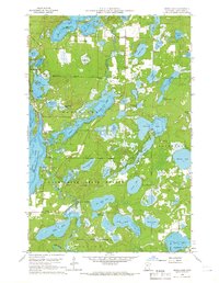
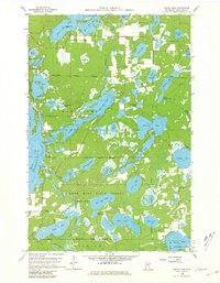
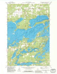
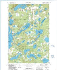
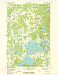
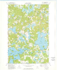
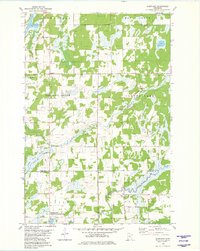
Editions of this 1960 Cross Lake Map
4 editions found
Historical Maps of Manhattan Beach Through Time
12 maps found
1959 Lower Whitefish Lake
Crow Wing County, MN
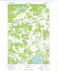
1959 Pelican Lake
Crow Wing County, MN
1960 Cross Lake
Crow Wing County, MN
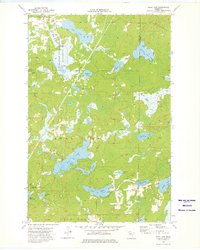
1968 Platte Lake
Crow Wing County, MN
1973 Bay Lake
Crow Wing County, MN

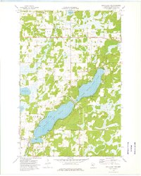
1973 Grave Lake
Crow Wing County, MN
1973 Gull Lake
Crow Wing County, MN
1973 Iron Hub
Crow Wing County, MN
1973 Ross Lake
Crow Wing County, MN
1973 South Long Lake
Crow Wing County, MN
1981 Lastrup NW
Crow Wing County, MN
1981 Shephard
Crow Wing County, MN