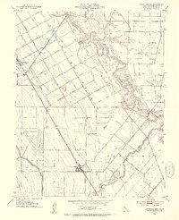
1952 Map of Crows Landing
USGS Topo · Published 1954About this map
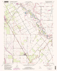
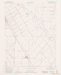
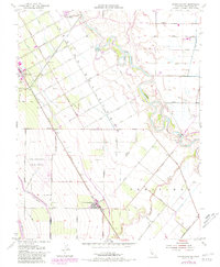
The agricultural geometry of the Central Valley is strikingly evident in this mid-century survey of the Rancho Del Puerto region. The landscape is defined by an extensive grid of fruit-named thoroughfares, including Apricot Avenue, Prune Avenue, and Apple Avenue, which trace the orchards surrounding Patterson. To the east, the meandering San Joaquin River and its associated waterways like Pear Slough contrast with the engineered precision of the Delta-Mendota Canal and Main Canal.
Find a feature on this map
42 named features on this map. Tap any name to fly to it.
Don’t see what you’re looking for? This feature index may not catch every label — zoom into the map to look around manually.
Map Details
Editions of this 1952 Crows Landing Map
7 editions found
Other maps of this area

1915 · Westport
USGS Topo · 1:31,680

1915 · Westley
USGS Topo · 1:31,680

1916 · Mitchell School
USGS Topo · 1:31,680

1916 · Crows Landing
USGS Topo · 1:31,680

1916 · Patterson
USGS Topo · 1:31,680

1916 · Ceres
USGS Topo · 1:31,680

1917 · Newman
USGS Topo · 1:31,680

1918 · Gustine
USGS Topo · 1:31,680

1919 · Orestimba
USGS Topo · 1:62,500

1919 · Orestimba Creek
USGS Topo · 1:31,680