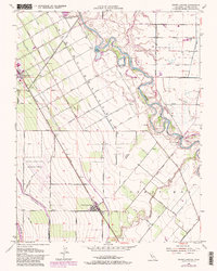
1952 Map of Crows Landing
USGS Topo · Published 1981About this map
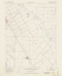
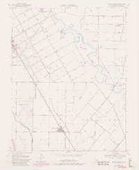
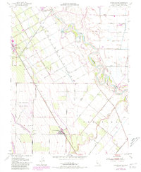
Agricultural development and water management define this Central Valley landscape, centered on the historic boundaries of Rancho Del Puerto and Orestimba. The orchard-lined streets of Patterson radiate in a unique geometric pattern, with thoroughfares named after local crops like Apricot Avenue and Pomegranate Avenue. Transport and irrigation networks dominate the terrain, from the industrial presence of the Southern Pacific railroad and the Naval Auxiliary Landing Field to the massive engineering of the Calif Aqueduct and Delta-Mendota Canal. Along the meandering San Joaquin River, the landscape shifts toward riparian features like Pear Slough and the riverside Catfish Camp. The map documents a period when local infrastructure was rapidly evolving, captured through the inclusion of the Crows Landing Bridge and various pumping stations supporting the valley's intensive farming heritage.
Find a feature on this map
52 named features on this map. Tap any name to fly to it.
Don’t see what you’re looking for? This feature index may not catch every label — zoom into the map to look around manually.
Map Details
Editions of this 1952 Crows Landing Map
7 editions found
Other maps of this area

1915 · Westport
USGS Topo · 1:31,680

1915 · Westley
USGS Topo · 1:31,680

1916 · Mitchell School
USGS Topo · 1:31,680

1916 · Crows Landing
USGS Topo · 1:31,680

1916 · Patterson
USGS Topo · 1:31,680

1916 · Ceres
USGS Topo · 1:31,680

1917 · Newman
USGS Topo · 1:31,680

1918 · Gustine
USGS Topo · 1:31,680

1919 · Orestimba
USGS Topo · 1:62,500

1919 · Orestimba Creek
USGS Topo · 1:31,680