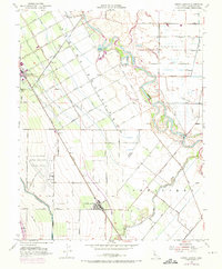
1952 Map of Crows Landing
USGS Topo · Published 1973About this map
Patterson and the surrounding agricultural landscape define this Central Valley survey, which captures the region's sophisticated irrigation and transport networks during the mid-20th century. The town's distinctive radial street layout, featuring avenues named for fruit and nut trees like Almond Avenue and Pomegranate Avenue, reflects a planned horticultural colony. These orchards are served by a complex system of canals and laterals that draw from the San Joaquin River, which meanders along the eastern edge of the map past Catfish Camp.
Find a feature on this map
53 named features on this map. Tap any name to fly to it.
Don’t see what you’re looking for? This feature index may not catch every label — zoom into the map to look around manually.
Map Details
Editions of this 1952 Crows Landing Map
7 editions found
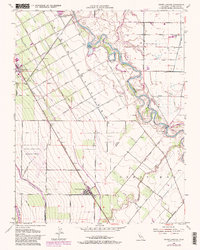
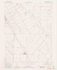
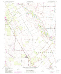
Other maps of this area

1915 · Westport
USGS Topo · 1:31,680

1915 · Westley
USGS Topo · 1:31,680

1916 · Mitchell School
USGS Topo · 1:31,680

1916 · Crows Landing
USGS Topo · 1:31,680

1916 · Patterson
USGS Topo · 1:31,680

1916 · Ceres
USGS Topo · 1:31,680

1917 · Newman
USGS Topo · 1:31,680

1918 · Gustine
USGS Topo · 1:31,680

1919 · Orestimba
USGS Topo · 1:62,500

1919 · Orestimba Creek
USGS Topo · 1:31,680