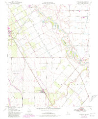
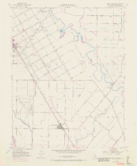
1952 Map of Crows Landing
USGS Topo · Published 1981About this map
The Rancho Del Puerto grant boundary anchors this agricultural landscape, where the town of Patterson was developed with a distinctive radial street plan including Las Palmas Avenue and Orange Avenue. To the southeast, the rail-oriented settlement of Crows Landing sits along the Southern Pacific tracks, serving as a hub for the surrounding orchards and fields. The map documents a complex water management system vital to Central Valley farming, featuring the Delta-Mendota Canal, the Calif Aqueduct, and numerous lateral drains.
Find a feature on this map
49 named features on this map. Tap any name to fly to it.
Don’t see what you’re looking for? This feature index may not catch every label — zoom into the map to look around manually.
Map Details
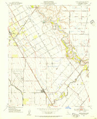
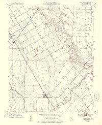
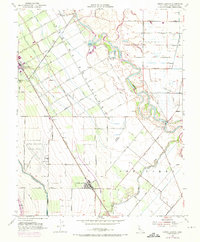
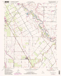
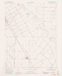
Editions of this 1952 Crows Landing Map
7 editions found
Other maps of this area

1915 · Westport
USGS Topo · 1:31,680

1915 · Westley
USGS Topo · 1:31,680

1916 · Mitchell School
USGS Topo · 1:31,680

1916 · Crows Landing
USGS Topo · 1:31,680

1916 · Patterson
USGS Topo · 1:31,680

1916 · Ceres
USGS Topo · 1:31,680

1917 · Newman
USGS Topo · 1:31,680

1918 · Gustine
USGS Topo · 1:31,680

1919 · Orestimba
USGS Topo · 1:62,500

1919 · Orestimba Creek
USGS Topo · 1:31,680