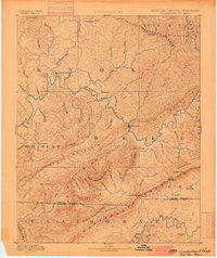
1891 Map of Cumberland Gap
USGS Topo · Published 1900About this map
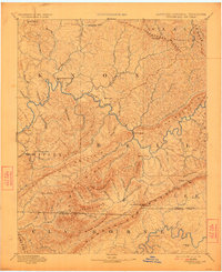
Cumberland Gap serves as the focal point of this late 19th-century reconnaissance, where the borders of Kentucky, Tennessee, and Virginia converge amidst a complex system of ridges. The Cumberland River carves a winding path through the center of the region, passing the significant settlements of Barboursville and Pineville. Transportation in this era relied heavily on river crossings, evidenced by Tye Ferry and river crossings like Mshenry Ford and Campbell Ford.
Find a feature on this map
92 named features on this map. Tap any name to fly to it.
Don’t see what you’re looking for? This feature index may not catch every label — zoom into the map to look around manually.
Map Details
Editions of this 1891 Cumberland Gap Map
7 editions found
Other maps of this area

1883 · Morristown
USGS Topo · 1:125,000

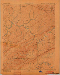
1886 · Cumberland Gap
USGS Topo · 1:125,000

1887 · Jonesville
USGS Topo · 1:125,000

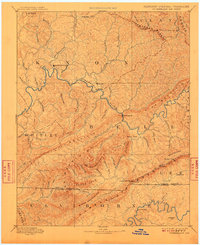
1888 · Cumberland Gap
USGS Topo · 1:125,000

1890 · Williamsburg
USGS Topo · 1:125,000

1891 · Manchester
USGS Topo · 1:125,000

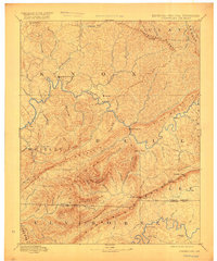
1891 · Cumberland Gap
USGS Topo · 1:125,000

1891 · Hazard
USGS Topo · 1:125,000

1891 · Jonesville
USGS Topo · 1:125,000

1893 · London
USGS Topo · 1:125,000