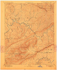
1891 Map of Cumberland Gap
USGS Topo · Published 1909About this map
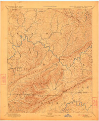
The Cumberland River carves a winding path through this 1880s landscape, serving as a primary corridor for the settlements of Barbourville and Pineville. This region, documented by surveyors S.S. Gannett and F.J. Knight, is defined by the massive parallel ridges of Pine Mountain and Cumberland Mountain. The strategic importance of the Cumberland Gap is evident where the tri-state boundaries of Kentucky, Virginia, and Tennessee converge near the Pinnacle.
Find a feature on this map
85 named features on this map. Tap any name to fly to it.
Don’t see what you’re looking for? This feature index may not catch every label — zoom into the map to look around manually.
Map Details
Editions of this 1891 Cumberland Gap Map
7 editions found
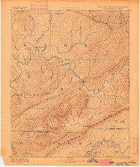
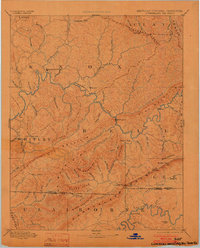
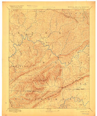
Other maps of this area

1883 · Morristown
USGS Topo · 1:125,000

1886 · Cumberland Gap
USGS Topo · 1:125,000

1887 · Jonesville
USGS Topo · 1:125,000

1888 · Cumberland Gap
USGS Topo · 1:125,000

1890 · Williamsburg
USGS Topo · 1:125,000

1891 · Manchester
USGS Topo · 1:125,000

1891 · Cumberland Gap
USGS Topo · 1:125,000

1891 · Hazard
USGS Topo · 1:125,000

1891 · Jonesville
USGS Topo · 1:125,000

1893 · London
USGS Topo · 1:125,000