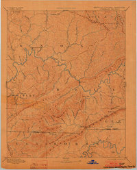
1891 Map of Cumberland Gap
USGS Topo · Published 1903About this map
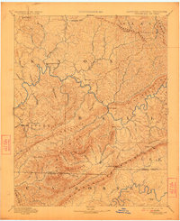
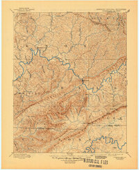
Pineville and Barboursville serve as the primary hubs in this late 19th-century survey of the tri-state borderlands where Kentucky, Tennessee, and Virginia meet. The landscape is dominated by the dramatic ridgelines of Pine Mountain and the Cumberland Mountains, which channel settlement and movement along the Cumberland River and its numerous tributaries. This period before heavy industrialization reveals a network of river crossings and small upland settlements like Flat Lick and Calloway.
Find a feature on this map
93 named features on this map. Tap any name to fly to it.
Don’t see what you’re looking for? This feature index may not catch every label — zoom into the map to look around manually.
Map Details
Editions of this 1891 Cumberland Gap Map
7 editions found
Other maps of this area

1883 · Morristown
USGS Topo · 1:125,000

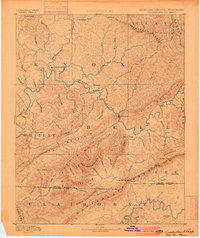
1886 · Cumberland Gap
USGS Topo · 1:125,000

1887 · Jonesville
USGS Topo · 1:125,000

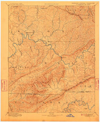
1888 · Cumberland Gap
USGS Topo · 1:125,000

1890 · Williamsburg
USGS Topo · 1:125,000

1891 · Manchester
USGS Topo · 1:125,000

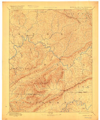
1891 · Cumberland Gap
USGS Topo · 1:125,000

1891 · Hazard
USGS Topo · 1:125,000

1891 · Jonesville
USGS Topo · 1:125,000

1893 · London
USGS Topo · 1:125,000