
1953 Map of Cypress Lake
USGS Topo · Published 1954About this map
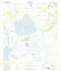
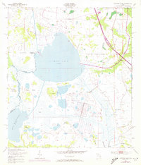
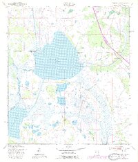
Cypress Lake and Lake Hatchineha dominate this Central Florida landscape, connected by a network of engineered waterways and natural drainage during the early 1950s. The survey reveals a complex wetland environment where the South Port Canal and Hatchineha Canal intersect with the winding paths of Reedy Creek and the Dead River. This era shows the transition of the marshlands, with numerous family-named high points such as Ike Hammock, Carson Hammock, and Coon Hammock providing notable landmarks within the broader expanse of Cobb Marsh.
Find a feature on this map
21 named features on this map. Tap any name to fly to it.
Don’t see what you’re looking for? This feature index may not catch every label — zoom into the map to look around manually.
Map Details
Editions of this 1953 Cypress Lake Map
4 editions found
Other maps of this area

1952 · Lake Weohyakapka NE
USGS Topo · 1:24,000

1952 · Hesperides
USGS Topo · 1:24,000

1953 · Lake Marian NW
USGS Topo · 1:24,000

1953 · Lake Hatchineha
USGS Topo · 1:24,000

1953 · St Cloud South
USGS Topo · 1:24,000

1953 · Lake Tohopekaliga
USGS Topo · 1:24,000

1953 · Holopaw SW
USGS Topo · 1:24,000

1953 · Ashton
USGS Topo · 1:24,000

1955 · Orlando
USGS Topo · 1:250,000

1956 · Fort Pierce
USGS Topo · 1:250,000