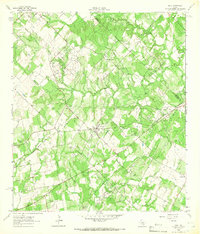
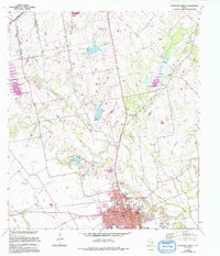
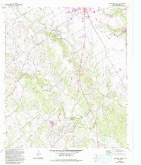
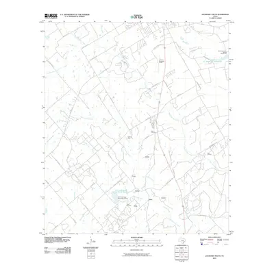
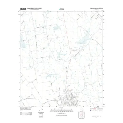
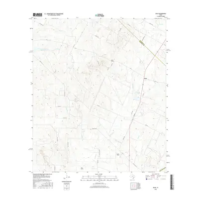
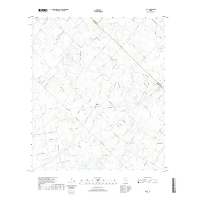
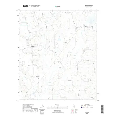
1964 Map of Dale
USGS Topo · Published 1966About this map
The Lytton Springs Oil Field and Dale Oil Field define the industrial footprint of this mid-1960s survey along the Bastrop Co Caldwell Co line. These petroleum hubs are connected by the Missouri Kansas Texas railroad, which passes through the central settlement of Dale. The map reveals a deeply established rural community characterized by numerous small cemeteries and family-named landmarks.
Find a feature on this map
32 named features on this map. Tap any name to fly to it.
Don’t see what you’re looking for? This feature index may not catch every label — zoom into the map to look around manually.
Map Details
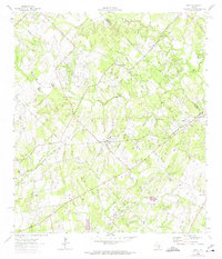
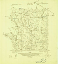
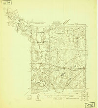
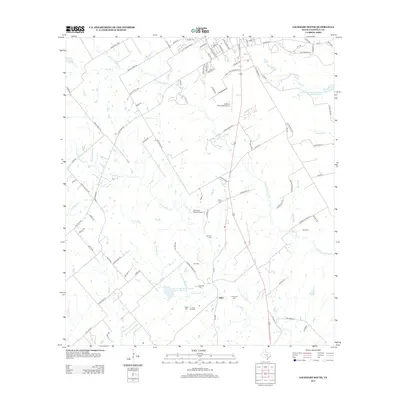
Editions of this 1964 Dale Map
3 editions found
Historical Maps of Dale Through Time
32 maps found
1925 San Marcos 1-d
Caldwell County, TX
1925 San Marcos 4-a
Caldwell County, TX
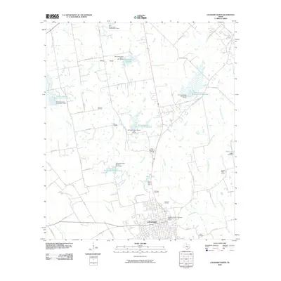
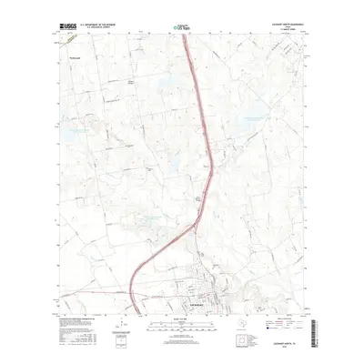
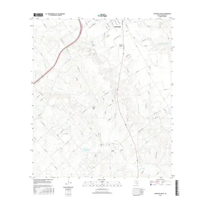
1963 Lockhart North
Caldwell County, TX
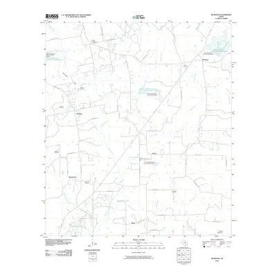
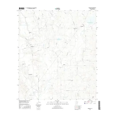
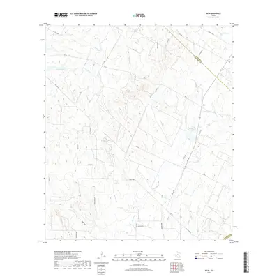
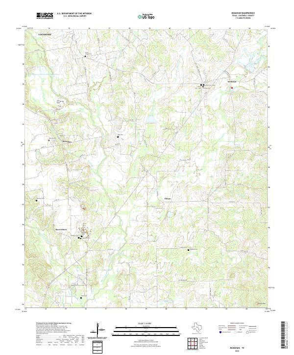
1963 McMahan
Caldwell County, TX
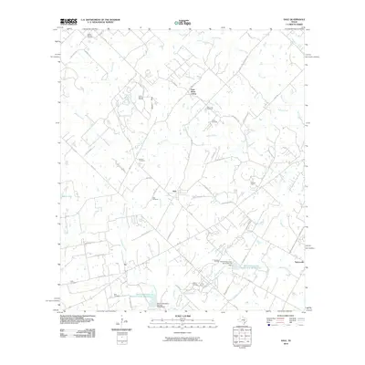
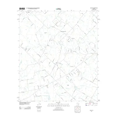
1964 Dale
Caldwell County, TX
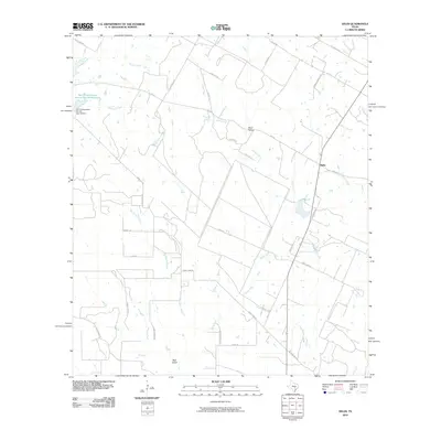
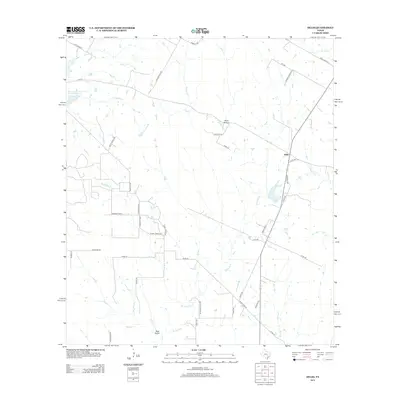
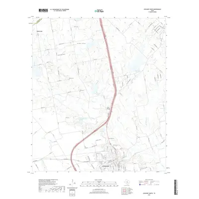
1964 Delhi
Caldwell County, TX
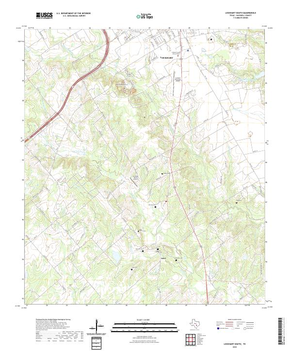
1964 Lockhart South
Caldwell County, TX
2010 Dale
Caldwell County, TX
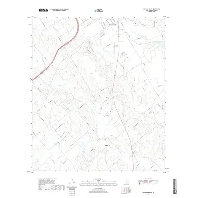
2010 Delhi
Caldwell County, TX
2010 Lockhart North
Caldwell County, TX
2010 Lockhart South
Caldwell County, TX
2010 McMahan
Caldwell County, TX
2013 Dale
Caldwell County, TX
2013 Delhi
Caldwell County, TX
2013 Lockhart North
Caldwell County, TX
2013 Lockhart South
Caldwell County, TX
2013 McMahan
Caldwell County, TX
2016 Dale
Caldwell County, TX
2016 Delhi
Caldwell County, TX
2016 Lockhart North
Caldwell County, TX
2016 Lockhart South
Caldwell County, TX
2016 McMahan
Caldwell County, TX
2019 Dale
Caldwell County, TX
2019 Delhi
Caldwell County, TX
2019 Lockhart North
Caldwell County, TX
2019 Lockhart South
Caldwell County, TX
2019 McMahan
Caldwell County, TX
2022 Dale
Caldwell County, TX
2022 Delhi
Caldwell County, TX
2022 Lockhart North
Caldwell County, TX
2022 Lockhart South
Caldwell County, TX
2022 McMahan
Caldwell County, TX