
1893 Map of Dallas
USGS Topo · Published 1893About this map
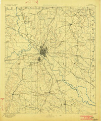
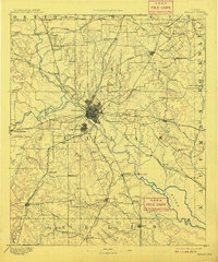
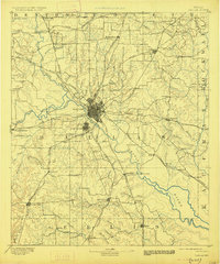
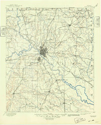
The Elm Fork of Trinity River and its multiple tributaries converge near the growing railroad hub of Dallas in the late nineteenth century. This survey documents the early footprint of Oak Cliff south of the river and identifies small, localized communities such as Jim Town, Haught's Store, and Sowers before they were absorbed by twentieth-century expansion. The landscape is defined by its transit crossings, including Doddy's Ferry and Barns Bridge, illustrating a time when river passage was as critical as the burgeoning rail lines. Numerous railways like the Texas and Pacific Railway and the Houston and Texas Central Railway radiate from the city center, connecting distant settlements like Eagleford, Mesquite, and Richardson through a web of steel that would soon transform the prairie into a major metropolitan corridor.
Find a feature on this map
86 named features on this map. Tap any name to fly to it.
Don’t see what you’re looking for? This feature index may not catch every label — zoom into the map to look around manually.
Map Details
Editions of this 1893 Dallas Map
5 editions found
Other maps of this area

1891 · Dallas
USGS Topo · 1:125,000

1891 · Cleburne
USGS Topo · 1:125,000

1894 · Cleburne
USGS Topo · 1:125,000

1894 · Fort Worth
USGS Topo · 1:125,000

1912 · Rockwall
USGS Topo · 1:31,680

1919 · Royse City
USGS Topo · 1:62,500

1924 · Farmersville 3-c
USGS Topo · 1:48,000

1924 · Mc Kinney 4-d
USGS Topo · 1:48,000

1925 · Mc Kinney 3-c
USGS Topo · 1:48,000

1925 · Dallas 2-b
USGS Topo · 1:48,000