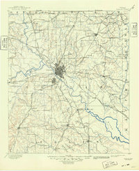
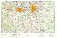
1954 Map of Dallas
USGS Topo · Published 1963This historical map portrays the area of Dallas in 1954, primarily covering Dallas as well as portions of Tarrant County, Collin County, Denton County, Erath County, Hill County, Ellis County, Johnson County, Parker County, Kaufman County, Somervell County, Hamilton County, Rockwall County, Hunt County, Henderson County, Wise County, Freestone County, Hood County, Van Zandt County, Anderson County, Bosque County, and Navarro County. Featuring a scale of 1:250000, this map provides a highly detailed snapshot of the terrain, roads, buildings, counties, and historical landmarks in the Dallas region at the time. Published in 1963, it is one of 4 known editions of this map due to revisions or reprints.
Find a feature on this map
332 named features on this map. Tap any name to fly to it.
Don’t see what you’re looking for? This feature index may not catch every label — zoom into the map to look around manually.
Map Details
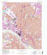
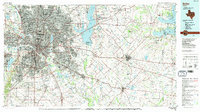
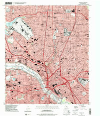
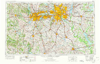
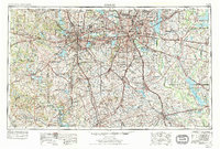
Editions of this 1954 Dallas Map
4 editions found
Historical Maps of Shady Grove Through Time
7 maps found