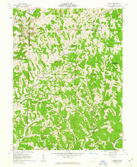
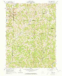
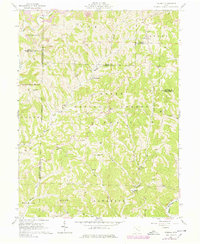
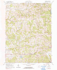
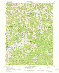
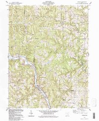
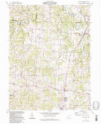
1961 Map of Dalzell
USGS Topo · Published 1963This historical map portrays the area of Dalzell in 1961, primarily covering Washington County as well as portions of Noble County and Monroe County. Featuring a scale of 1:24000, this map provides a highly detailed snapshot of the terrain, roads, buildings, counties, and historical landmarks in the Dalzell region at the time. Published in 1963, it is one of 4 known editions of this map due to revisions or reprints.
Find a feature on this map
47 named features on this map. Tap any name to fly to it.
Don’t see what you’re looking for? This feature index may not catch every label — zoom into the map to look around manually.
Map Details
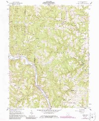
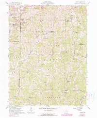
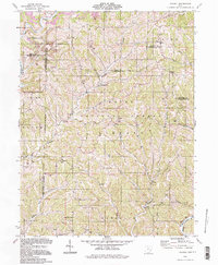
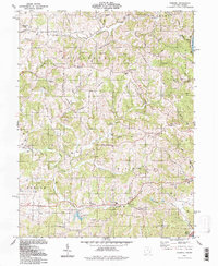
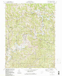
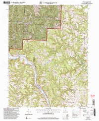
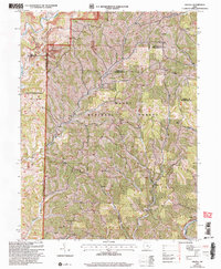
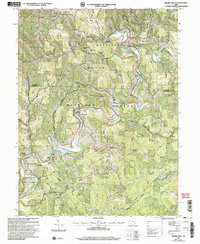
Editions of this 1961 Dalzell Map
4 editions found
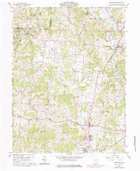
Historical Maps of Germantown Through Time
13 maps found
1960 Fleming
Washington County, OH
1960 Rinard Mills
Washington County, OH
1960 Watertown
Washington County, OH
1961 Cutler
Washington County, OH
1961 Dalzell
Washington County, OH
1994 Cutler
Washington County, OH
1994 Dalzell
Washington County, OH
1994 Fleming
Washington County, OH
1994 Rinard Mills
Washington County, OH
1994 Watertown
Washington County, OH
2002 Cutler
Washington County, OH
2002 Dalzell
Washington County, OH
2002 Rinard Mills
Washington County, OH