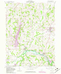
1961 Map of Danville
USGS Topo · Published 1983About this map
Danville and Millwood anchor this survey of central Ohio, which captures a landscape transitioning through significant hydraulic and industrial changes. The development of Apple Valley Lake west of Howard represents a major shift in the local terrain, as the Little Jelloway Creek drainage was altered for recreational and residential purposes. Along the Kokosing River to the south, the economy of the early 1960s is evident in the presence of Quarries and a Gaging Station, while an extensive Oil Field spans the central townships of Howard and Union. Local history is deeply embedded in the rural landscape, marked by family and community landmarks such as Stone Quarry Chapel, St Lukes Cem, and the small settlement at Monroe Mills. The mapping also preserves traces of older infrastructure, including a former rail Grade passing through Howard, illustrating the area's historical transportation corridors.
Find a feature on this map
43 named features on this map. Tap any name to fly to it.
Don’t see what you’re looking for? This feature index may not catch every label — zoom into the map to look around manually.
Map Details
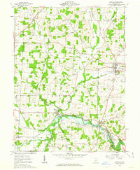
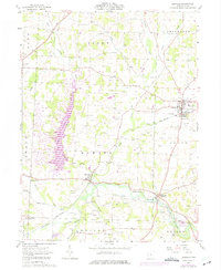
Editions of this 1961 Danville Map
3 editions found
Other maps of this area

1912 · Loudonville
USGS Topo · 1:62,500

1912 · Gambier
USGS Topo · 1:62,500

1912 · Perrysville
USGS Topo · 1:62,500

1913 · Brinkhaven
USGS Topo · 1:62,500

1914 · Gambier
USGS Topo · 1:62,500

1914 · Loudonville
USGS Topo · 1:62,500

1915 · Brinkhaven
USGS Topo · 1:62,500

1915 · Perrysville
USGS Topo · 1:62,500

1943 · Gambier
USGS Topo · 1:62,500

1943 · Loudonville
USGS Topo · 1:62,500