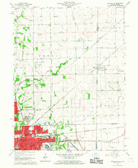
1966 Map of Danville NE
USGS Topo · Published 1967About this map
Danville serves as the focal point of this mid-1960s survey, showing the city's residential and industrial footprint alongside its transition into the surrounding agricultural landscape of Vermilion County. The map documents a dense network of transportation, including the Chicago and Eastern Illinois and New York Central railroads which intersect at various points. Local history is well-preserved through several small burial grounds such as Leonard Cem and Huffman Cem, and rural schools like Grange Hall Sch. Along the state border, the appropriately named State Line and Illiana sit right on the boundary between Illinois and Indiana. Notable civic features include the sprawling VA Hospital complex, Danville Jr College, and local landmarks like the Drive-in Theater and the Airport northeast of the city center.
Find a feature on this map
59 named features on this map. Tap any name to fly to it.
Don’t see what you’re looking for? This feature index may not catch every label — zoom into the map to look around manually.
Map Details
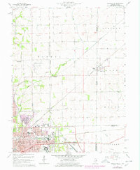
Editions of this 1966 Danville NE Map
2 editions found
Other maps of this area

1899 · Danville
USGS Topo · 1:62,500

1900 · Danville
USGS Topo · 1:62,500

1933 · Hoopeston
USGS Topo · 1:48,000

1938 · Hoopeston
USGS Topo · 1:62,500

1948 · Danville NW
USGS Topo · 1:24,000

1949 · Danville SW
USGS Topo · 1:24,000

1950 · Danville SW
USGS Topo · 1:24,000

1950 · Danville NW
USGS Topo · 1:24,000

1950 · Danville SE
USGS Topo · 1:24,000

1950 · Danville NE
USGS Topo · 1:24,000