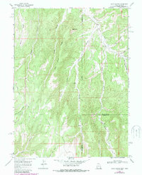
1966 Map of Davis Canyon
USGS Topo · Published 1987About this map
Atchee Ridge and Rector Ridge dominate this section of the Book Cliffs region along the Utah-Colorado border. This 1966 field-checked map illustrates a landscape shaped by significant drainage systems, including Evacuation Creek and Whiskey Creek, which carve deep canyons such as Dragon Canyon and Atchee Canyon. The terrain is marked by remote geological features like Displacement Point and isolated water sources including Mud Spring. Evidence of the region's natural resources and rugged character appears in labels for an Oil Seep and numerous networks of Jeep Trails that provided the only access through the high ridges. The map captures the meeting of Uintah, Rio Blanco, and Garfield counties, showing a period when this borderland was primarily defined by its topographic extremes and nascent resource exploration.
Find a feature on this map
25 named features on this map. Tap any name to fly to it.
Don’t see what you’re looking for? This feature index may not catch every label — zoom into the map to look around manually.
Map Details
Editions of this 1966 Davis Canyon Map
2 editions found
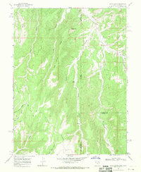
Other maps of this area

1885 · East Tavaputs
USGS Topo · 1:250,000

1956 · Grand Junction
USGS Topo · 1:250,000

1959 · Grand Junction
USGS Topo · 1:250,000

1960 · Grand Junction
USGS Topo · 1:250,000

1962 · Grand Junction
USGS Topo · 1:250,000

1964 · Grand Junction
USGS Topo · 1:250,000

1964 · Texas Creek
USGS Topo · 1:24,000

1964 · East Evacuation Creek
USGS Topo · 1:24,000

1964 · Baxter Pass
USGS Topo · 1:24,000

1965 · Grand Junction
USGS Topo · 1:250,000