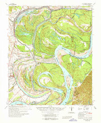
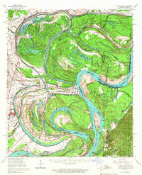
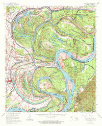
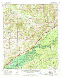
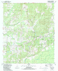
1965 Map of Davis Island
USGS Topo · Published 1965This historical map portrays the area of Davis Island in 1965, primarily covering Madison County as well as portions of Madison Parish and Louisiana. Featuring a scale of 1:62500, this map provides a highly detailed snapshot of the terrain, roads, buildings, counties, and historical landmarks in the Davis Island region at the time. Published in 1965, it is one of 3 known editions of this map due to revisions or reprints.
Find a feature on this map
103 named features on this map. Tap any name to fly to it.
Don’t see what you’re looking for? This feature index may not catch every label — zoom into the map to look around manually.
Map Details
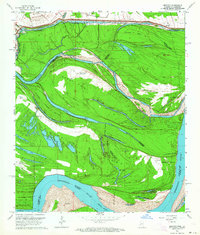
Editions of this 1965 Davis Island Map
3 editions found
Historical Maps of Claiborne County Through Time
16 maps found
1939 Alsatia
Madison County, MS
1960 Sharon
Madison County, MS
1963 Bedford
Madison County, MS
1964 Camden
Madison County, MS
1988 Charlton
Madison County, MS
1988 Farmhaven
Madison County, MS
1988 Sharon
Madison County, MS
1989 Shoccoe
Madison County, MS
1989 Way
Madison County, MS
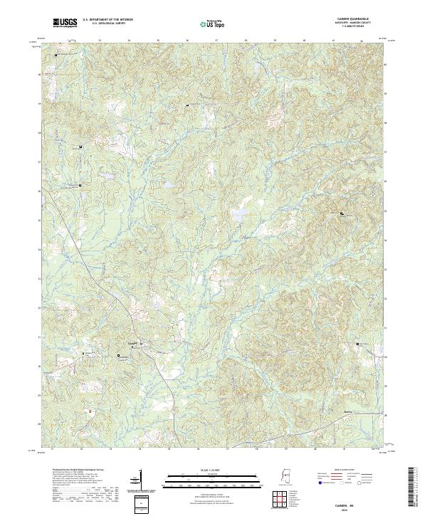
2024 Camden
Madison County, MS
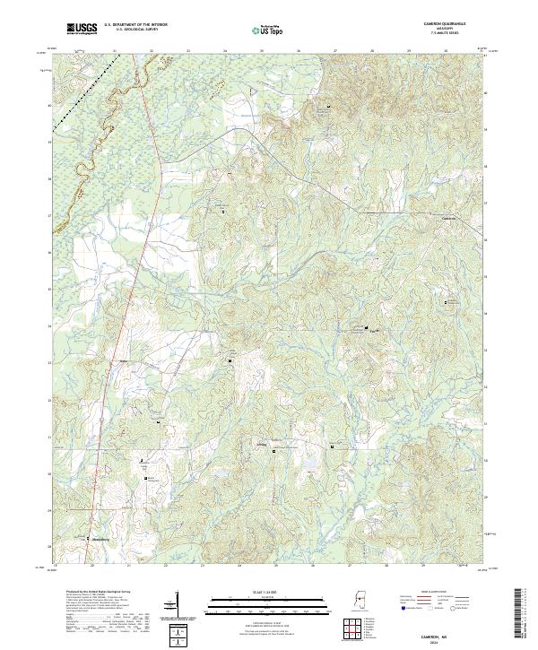
2024 Cameron
Madison County, MS
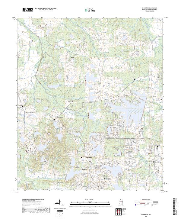
2024 Charlton
Madison County, MS
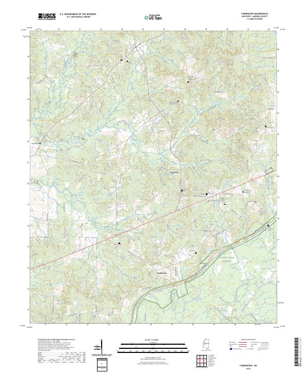
2024 Farmhaven
Madison County, MS
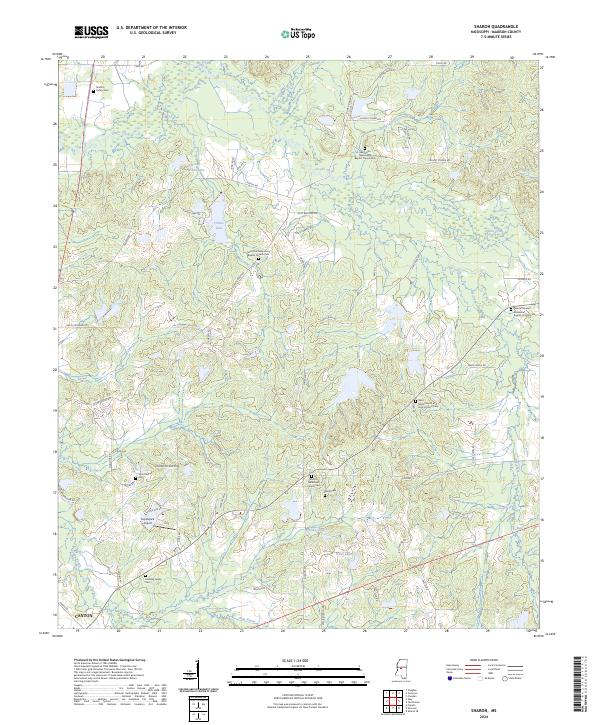
2024 Sharon
Madison County, MS
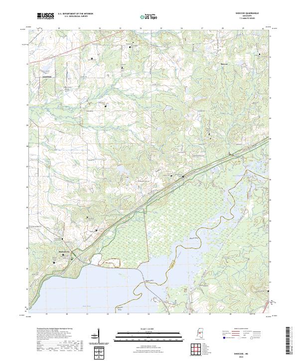
2024 Shoccoe
Madison County, MS
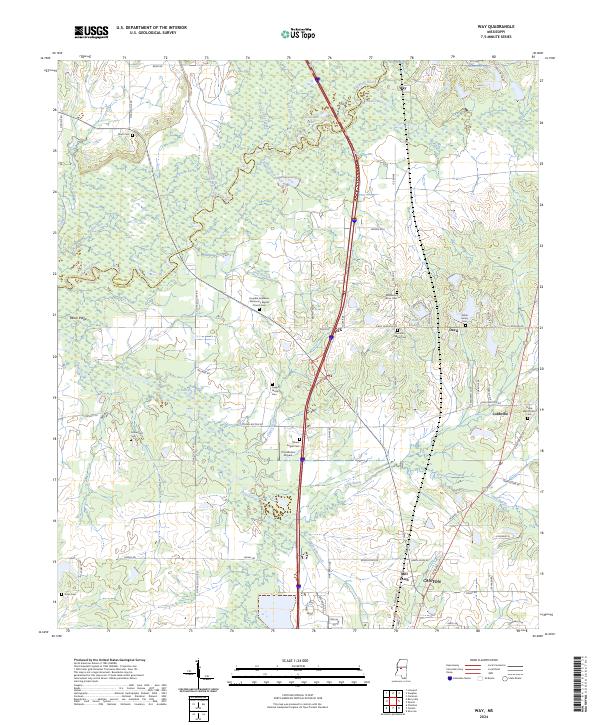
2024 Way
Madison County, MS