
2022 Map of Dawson Butte
USGS Topo · Published 2022About this map
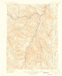
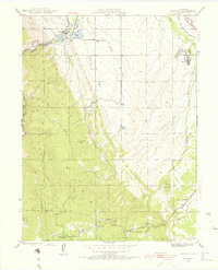
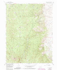
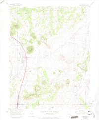
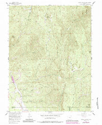
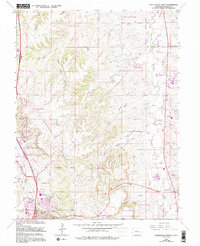
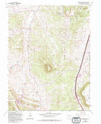
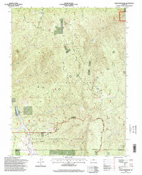
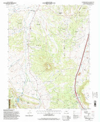
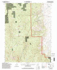
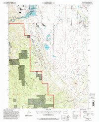
Dawson Butte rises as the central landmark of this Douglas County landscape, surrounded by a complex system of water management and rural residential growth. The drainage of W Plum Cr is heavily engineered with numerous ditches, including the Ratcliff Plum Cr Ditch and the Benjamin Quick Ditch, illustrating the area's agricultural and hydrologic history. In the southwest corner, the edges of the Pike National Forest meet the community of Perry Park, where the Waucondah Reservoir and Hog John Gulch define the transition from open range to the front range foothills.
Find a feature on this map
133 named features on this map. Tap any name to fly to it.
Don’t see what you’re looking for? This feature index may not catch every label — zoom into the map to look around manually.
Map Details
Editions of this 2022 Dawson Butte Map
This is the sole edition of this map. No revisions or reprints were ever made.
Historical Maps of Monte Vista Estates Through Time
25 maps found
1893 Platte Canyon
Douglas County, CO
1945 Kassler
Douglas County, CO
1948 Kassler
Douglas County, CO
1954 Cherry Valley School
Douglas County, CO
1954 Devils Head
Douglas County, CO
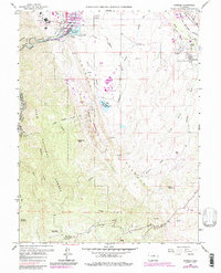
1954 Greenland
Douglas County, CO
1956 Dakan Mountain
Douglas County, CO
1965 Castle Rock North
Douglas County, CO
1965 Castle Rock South
Douglas County, CO
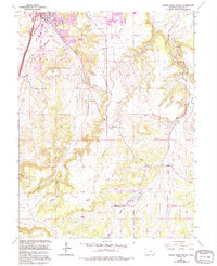
1965 Dawson Butte
Douglas County, CO
1965 Kassler
Douglas County, CO
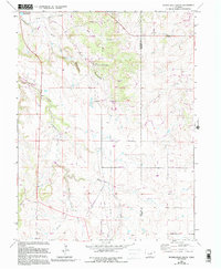
1966 Russellville Gulch
Douglas County, CO
1994 Dakan Mountain
Douglas County, CO
1994 Dawson Butte
Douglas County, CO
1994 Devils Head
Douglas County, CO
1994 Kassler
Douglas County, CO
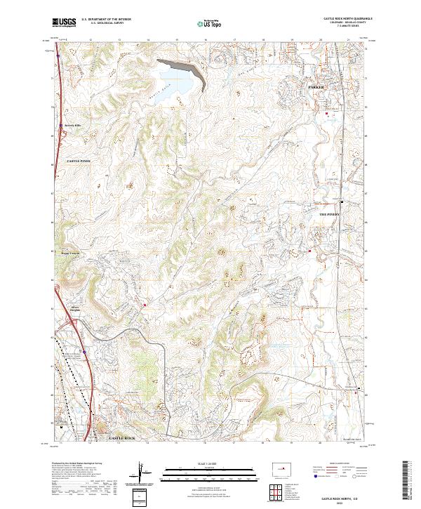
2022 Castle Rock North
Douglas County, CO
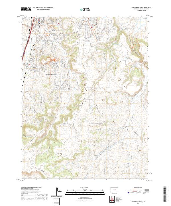
2022 Castle Rock South
Douglas County, CO
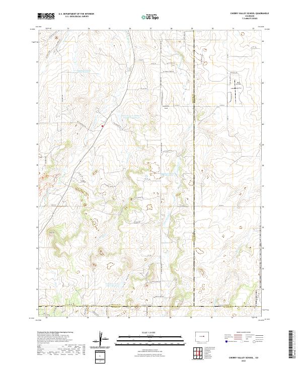
2022 Cherry Valley School
Douglas County, CO
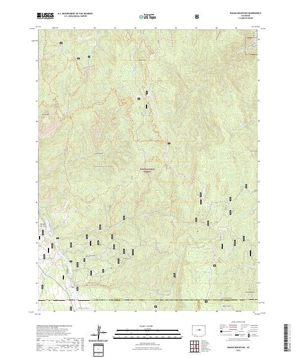
2022 Dakan Mountain
Douglas County, CO
2022 Dawson Butte
Douglas County, CO
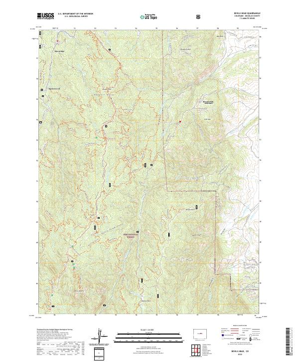
2022 Devils Head
Douglas County, CO
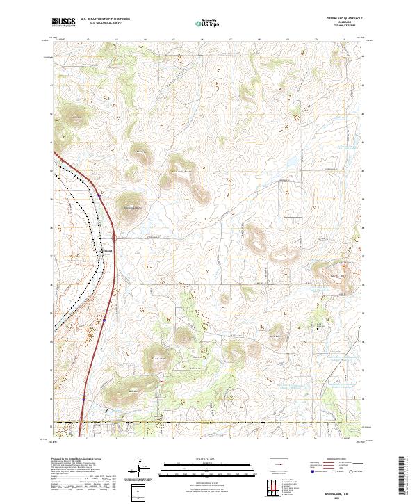
2022 Greenland
Douglas County, CO
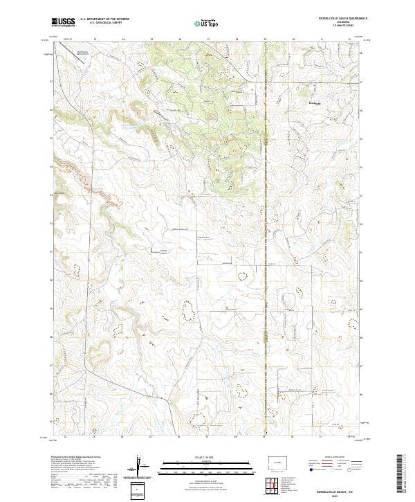
2022 Russellville Gulch
Douglas County, CO
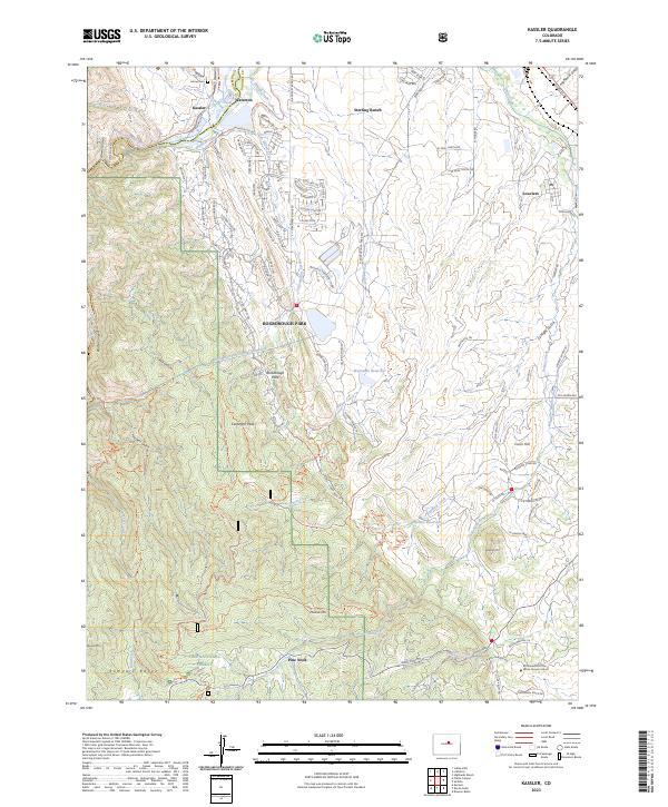
2023 Kassler
Douglas County, CO