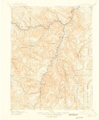
1893 Map of Platte Canyon
USGS Topo · Published 1948About this map
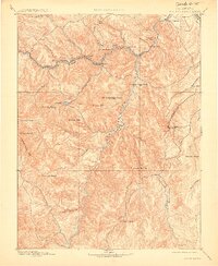
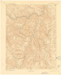
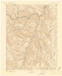
Pike National Forest dominates this 1891 survey, encompassing the high-altitude terrain of the Tarryall Mts and the deep incision of the Platte Canyon. Early Colorado settlements are established along the watercourses, including Pine Grove, Estabrook, and Bailey situated near the North Fork of the South Platte. These small mountain outposts were critical nodes in the regional topography before the late-19th-century expansion of the Front Range. The landscape is defined by its prominent summits, from the distinctive Devils Head to the high points of Bison Peak and Thunder Butte. Further south, Manitou Park marks a shift toward the headwaters of the Tarryall Creek, while the confluence of Buffalo Creek and the South Platte River near the town of Buffalo highlights the drainage patterns that shaped the area's earliest transit routes and development.
Find a feature on this map
48 named features on this map. Tap any name to fly to it.
Don’t see what you’re looking for? This feature index may not catch every label — zoom into the map to look around manually.
Map Details
Editions of this 1893 Platte Canyon Map
8 editions found
Other maps of this area

1890 · East Denver
USGS Topo · 1:125,000

1893 · Platte Canyon
USGS Topo · 1:125,000

1893 · Colorado Springs
USGS Topo · 1:125,000

1894 · Pikes Peak
USGS Topo · 1:125,000

1894 · Castle Rock
USGS Topo · 1:125,000

1899 · West Denver
USGS Topo · 1:125,000

1901 · Pikes Peak
USGS Topo · 1:125,000

1901 · Pikes Peak
USGS Topo · 1:62,500

1903 · Georgetown
USGS Topo · 1:62,500

1905 · Georgetown
USGS Topo · 1:62,500