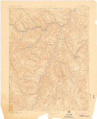
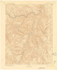
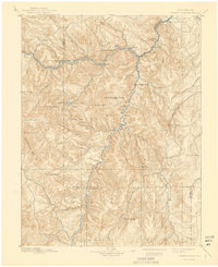
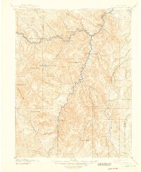
1893 Map of Platte Canyon
USGS Topo · Published 1901About this map
The Denver South Park and Pacific Ry Platte Canyon snakes through the canyon narrows in this late nineteenth-century survey, illustrating the critical rail link between Denver and the high country. Early settlements and siding stops like Pine Grove, Buffalo, Estabrook, and Bailey line the North Fork of the South Platte River, serving as vital hubs for the region's burgeoning mountain economy.
Find a feature on this map
47 named features on this map. Tap any name to fly to it.
Don’t see what you’re looking for? This feature index may not catch every label — zoom into the map to look around manually.
Map Details
Editions of this 1893 Platte Canyon Map
8 editions found
Other maps of this area

1890 · East Denver
USGS Topo · 1:125,000

1893 · Platte Canyon
USGS Topo · 1:125,000

1893 · Colorado Springs
USGS Topo · 1:125,000

1894 · Pikes Peak
USGS Topo · 1:125,000

1894 · Castle Rock
USGS Topo · 1:125,000

1899 · West Denver
USGS Topo · 1:125,000

1901 · Pikes Peak
USGS Topo · 1:125,000

1901 · Pikes Peak
USGS Topo · 1:62,500

1903 · Georgetown
USGS Topo · 1:62,500

1905 · Georgetown
USGS Topo · 1:62,500