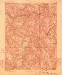
1893 Map of Platte Canyon
USGS Topo · Published 1898About this map
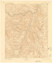
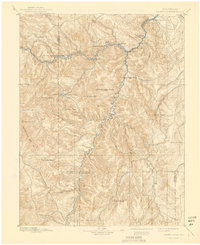
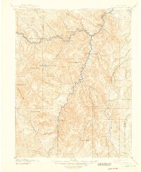
The Denver South Park and Pacific RR winds through the high canyons of this 1891 survey, following the sharp curves of the North Fork of the South Platte river. This narrow-gauge rail line served as the primary lifeline for a string of mountain settlements including Bailey, Estabrook, and Pine Grove. The geography is defined by a dense network of granite summits and prominent landmarks such as Devils Head or Platte Mtn, Thunder Butte, and the Tarryall Mts.
Find a feature on this map
42 named features on this map. Tap any name to fly to it.
Don’t see what you’re looking for? This feature index may not catch every label — zoom into the map to look around manually.
Map Details
Editions of this 1893 Platte Canyon Map
8 editions found
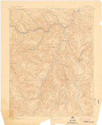
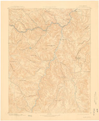
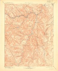
Other maps of this area

1890 · East Denver
USGS Topo · 1:125,000

1893 · Platte Canyon
USGS Topo · 1:125,000

1893 · Colorado Springs
USGS Topo · 1:125,000

1894 · Pikes Peak
USGS Topo · 1:125,000

1894 · Castle Rock
USGS Topo · 1:125,000

1899 · West Denver
USGS Topo · 1:125,000

1901 · Pikes Peak
USGS Topo · 1:125,000

1901 · Pikes Peak
USGS Topo · 1:62,500

1903 · Georgetown
USGS Topo · 1:62,500

1905 · Georgetown
USGS Topo · 1:62,500