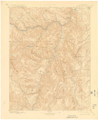
1893 Map of Platte Canyon
USGS Topo · Published 1927About this map
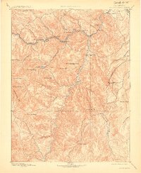
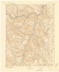
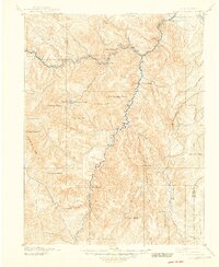
Denver South Park and Pacific RR tracks follow the winding course of the North Fork of the South Platte river, illustrating the vital role of rail transport through the mountain corridors during the late nineteenth century. Small settlements such as Bailey, Pine Grove, and Buffalo serve as localized hubs along the line, providing a glimpse into the early developmental footprint within what would become the Pike National Forest.
Find a feature on this map
47 named features on this map. Tap any name to fly to it.
Don’t see what you’re looking for? This feature index may not catch every label — zoom into the map to look around manually.
Map Details
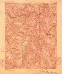
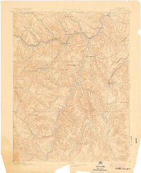
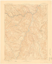
Editions of this 1893 Platte Canyon Map
8 editions found
Other maps of this area

1890 · East Denver
USGS Topo · 1:125,000

1893 · Platte Canyon
USGS Topo · 1:125,000

1893 · Colorado Springs
USGS Topo · 1:125,000

1894 · Pikes Peak
USGS Topo · 1:125,000

1894 · Castle Rock
USGS Topo · 1:125,000

1899 · West Denver
USGS Topo · 1:125,000

1901 · Pikes Peak
USGS Topo · 1:125,000

1901 · Pikes Peak
USGS Topo · 1:62,500

1903 · Georgetown
USGS Topo · 1:62,500

1905 · Georgetown
USGS Topo · 1:62,500