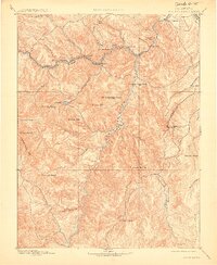
1893 Map of Platte Canyon
USGS Topo · Published 1914About this map
The Denver South Park and Pacific Ry winds through the narrow mountain corridors of the Front Range on this 1891 survey, following the North Fork of the South Platte river through a series of early rail stops. Small settlements like Estabrook, Crosson, and Pine Grove serve as key markers of late 19th-century mountain development. To the south, the terrain rises into the Tarryall Mts, dominated by prominent peaks such as Bison Peak and Thunder Butte. The map details the complex drainage systems that feed the South Platte River, including Tarryall Creek and Wigwam Creek. Notable landmarks like Dome Rock and the steep walls of Platte Canyon highlight the geological character that challenged early railroad engineering and influenced the location of mountain outposts like Buffalo and Dawson.
Find a feature on this map
52 named features on this map. Tap any name to fly to it.
Don’t see what you’re looking for? This feature index may not catch every label — zoom into the map to look around manually.
Map Details
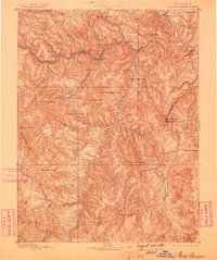
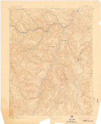
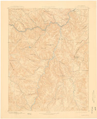
Editions of this 1893 Platte Canyon Map
8 editions found
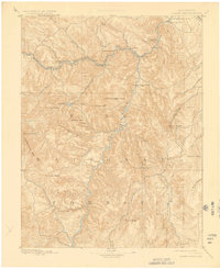
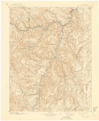
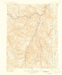
Other maps of this area

1890 · East Denver
USGS Topo · 1:125,000

1893 · Platte Canyon
USGS Topo · 1:125,000

1893 · Colorado Springs
USGS Topo · 1:125,000

1894 · Pikes Peak
USGS Topo · 1:125,000

1894 · Castle Rock
USGS Topo · 1:125,000

1899 · West Denver
USGS Topo · 1:125,000

1901 · Pikes Peak
USGS Topo · 1:125,000

1901 · Pikes Peak
USGS Topo · 1:62,500

1903 · Georgetown
USGS Topo · 1:62,500

1905 · Georgetown
USGS Topo · 1:62,500