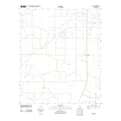
2010 Map of Dayton
USGS Topo · Published 2010About this map
Rio Peñasco meanders across this Eddy County landscape, defining the hydrology of an area where traditional ranching roots meet modern road networks. This 2010 survey illustrates the sparse settlement patterns typical of the region, anchored by the community of Dayton and the distinctively named Frontier Post. The presence of established holdings like One Hundred Ranch and Taylor Ross Ranch highlights the enduring legacy of large-scale land use in this part of New Mexico.
Find a feature on this map
25 named features on this map. Tap any name to fly to it.
Don’t see what you’re looking for? This feature index may not catch every label — zoom into the map to look around manually.
Map Details
Editions of this 2010 Dayton Map
This is the sole edition of this map. No revisions or reprints were ever made.
Other maps of this area

1954 · Seven Rivers
USGS Topo · 1:24,000

1954 · Carlsbad
USGS Topo · 1:250,000

1955 · Artesia
USGS Topo · 1:24,000

1955 · Spring Lake
USGS Topo · 1:24,000

1955 · Dayton
USGS Topo · 1:24,000

1955 · Lake Mc Millan North
USGS Topo · 1:24,000

1955 · Lake Mc Millan South
USGS Topo · 1:24,000

1956 · Parish Ranch
USGS Topo · 1:24,000

1956 · Hope SE
USGS Topo · 1:24,000

1957 · Foster Ranch
USGS Topo · 1:24,000