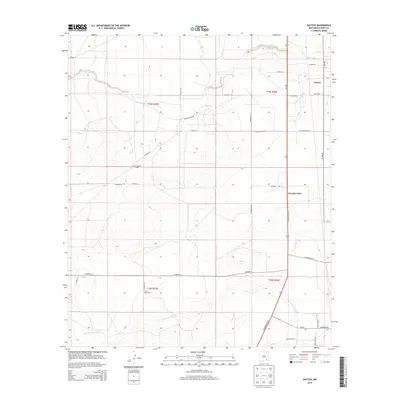
2013 Map of Dayton
USGS Topo · Published 2013About this map
Rio Peñasco winds across this high plains landscape of Eddy County, defining a region where cattle ranching and transportation infrastructure intersect. The map documents the area surrounding Dayton, a settlement positioned just east of the primary north-south corridor of Us-285 and the Seven Rivers Hwy. This 2013 survey illustrates the enduring footprint of large-scale landholdings, featuring landmarks such as the One Hundred Ranch and the Taylor Ross Ranch.
Find a feature on this map
34 named features on this map. Tap any name to fly to it.
Don’t see what you’re looking for? This feature index may not catch every label — zoom into the map to look around manually.
Map Details
Editions of this 2013 Dayton Map
This is the sole edition of this map. No revisions or reprints were ever made.
Other maps of this area

1954 · Seven Rivers
USGS Topo · 1:24,000

1954 · Carlsbad
USGS Topo · 1:250,000

1955 · Artesia
USGS Topo · 1:24,000

1955 · Spring Lake
USGS Topo · 1:24,000

1955 · Dayton
USGS Topo · 1:24,000

1955 · Lake Mc Millan North
USGS Topo · 1:24,000

1955 · Lake Mc Millan South
USGS Topo · 1:24,000

1956 · Parish Ranch
USGS Topo · 1:24,000

1956 · Hope SE
USGS Topo · 1:24,000

1957 · Foster Ranch
USGS Topo · 1:24,000