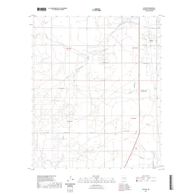
2023 Map of Dayton
USGS Topo · Published 2023About this map
The Rio Peñasco winds across the northern landscape of Eddy County, defining a region where water management and ranching roads dominate the geography. In the east, the settlement of Dayton sits near the river's path, while the Frontier Post area marks a point of interest further south. The southern portion of this territory is drained by the North Seven Rivers, which flows past the Lakewood Cem, providing a key landmark for local history and genealogy research in this part of New Mexico.
Find a feature on this map
33 named features on this map. Tap any name to fly to it.
Don’t see what you’re looking for? This feature index may not catch every label — zoom into the map to look around manually.
Map Details
Editions of this 2023 Dayton Map
This is the sole edition of this map. No revisions or reprints were ever made.
Other maps of this area

1954 · Seven Rivers
USGS Topo · 1:24,000

1954 · Carlsbad
USGS Topo · 1:250,000

1955 · Artesia
USGS Topo · 1:24,000

1955 · Spring Lake
USGS Topo · 1:24,000

1955 · Dayton
USGS Topo · 1:24,000

1955 · Lake Mc Millan North
USGS Topo · 1:24,000

1955 · Lake Mc Millan South
USGS Topo · 1:24,000

1956 · Parish Ranch
USGS Topo · 1:24,000

1956 · Hope SE
USGS Topo · 1:24,000

1957 · Foster Ranch
USGS Topo · 1:24,000