2021 Map of Deadmans Lake
USGS Topo · Published 2021About this map
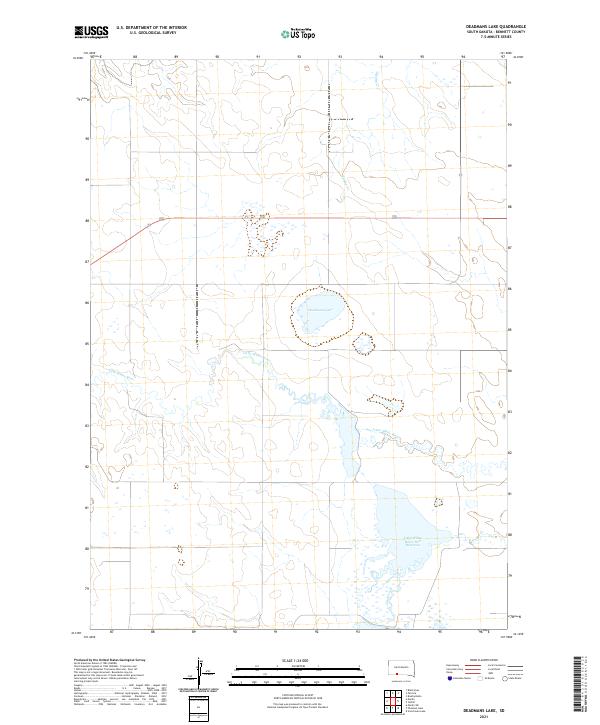
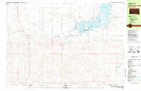
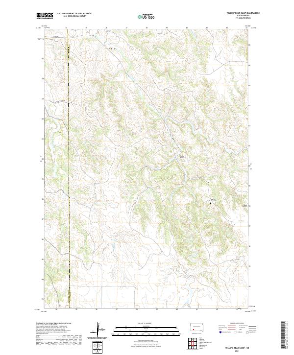
Deadmans Lake sits at the heart of this Bennett County landscape, representing a characteristic Great Plains hydrologic system where seasonal drainages and permanent pools define the local geography. The Little White River meanders through the central townships, its winding course feeding into the Little White River Pool Reservoir to the southeast. This modern survey illustrates the critical water management infrastructure of the region, including the confluence of Lake Creek and smaller tributaries like Spring Cr. The map provides a precise view of the Public Land Survey System grid, detailing the township and range boundaries that have governed land ownership and cattle ranching in this part of South Dakota for generations. The distribution of these water sources against the topographic contours reveals the subtle but vital relief of the river valley and the surrounding high plains.
Find a feature on this map
12 named features on this map. Tap any name to fly to it.
Don’t see what you’re looking for? This feature index may not catch every label — zoom into the map to look around manually.
Map Details
Editions of this 2021 Deadmans Lake Map
This is the sole edition of this map. No revisions or reprints were ever made.
Historical Maps of Martin Through Time
25 maps found
1981 Blackpipe
Bennett County, SD
1981 Ecoffey Lake
Bennett County, SD
1981 Patricia
Bennett County, SD
1981 Phantom Lake
Bennett County, SD
1981 Scotchman Lake
Bennett County, SD
1981 Swett
Bennett County, SD
1981 Tuthill
Bennett County, SD
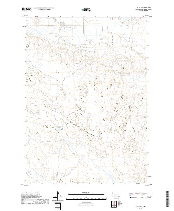
2021 Allan Dam
Bennett County, SD
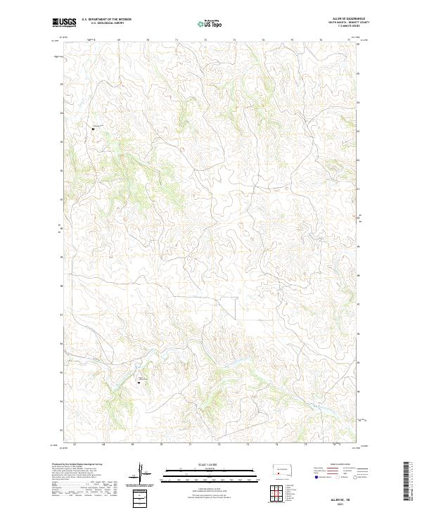
2021 Allen SE
Bennett County, SD
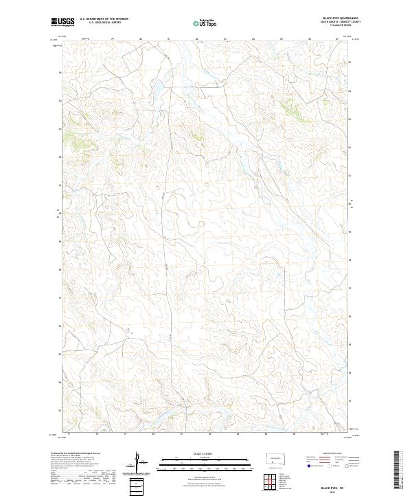
2021 Black Eyes
Bennett County, SD
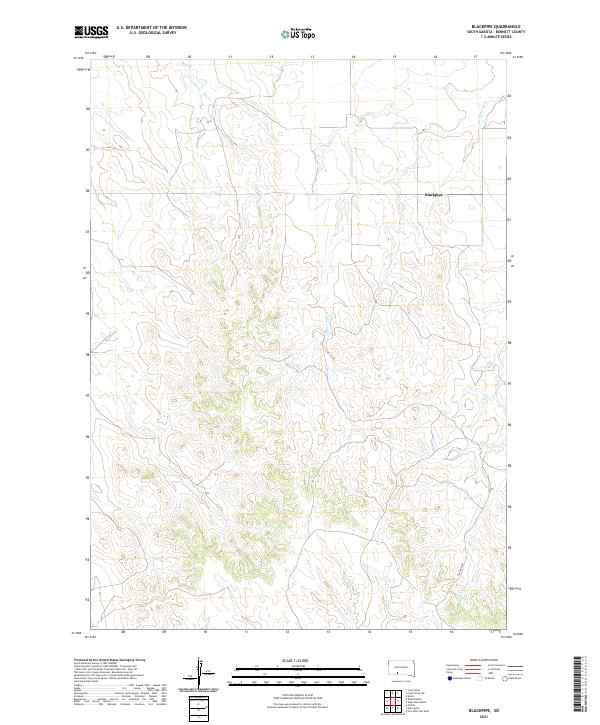
2021 Blackpipe
Bennett County, SD
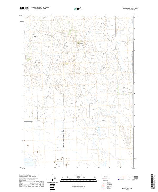
2021 Brushy Butte
Bennett County, SD
2021 Deadmans Lake
Bennett County, SD
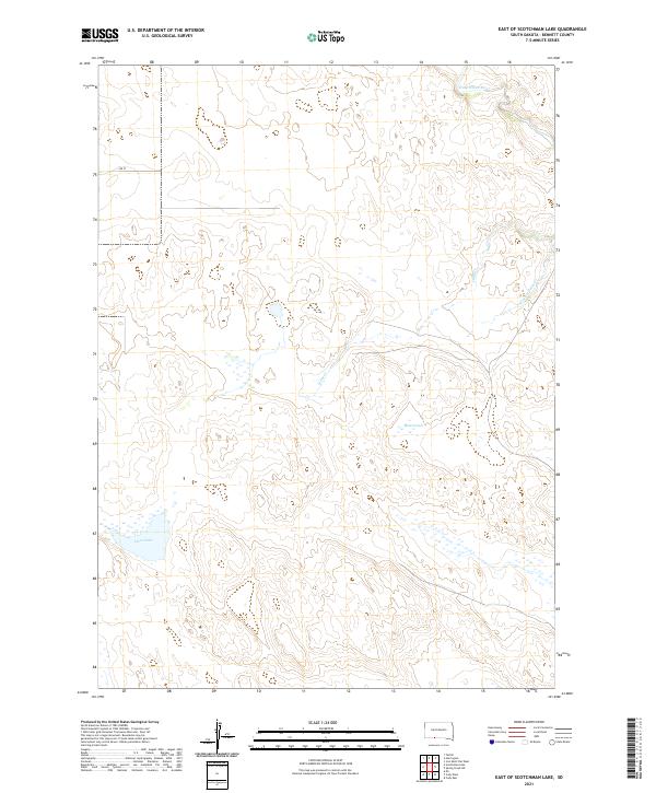
2021 East of Scotchman Lake
Bennett County, SD
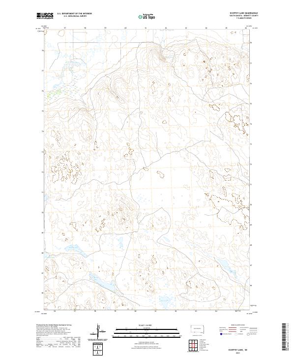
2021 Ecoffey Lake
Bennett County, SD
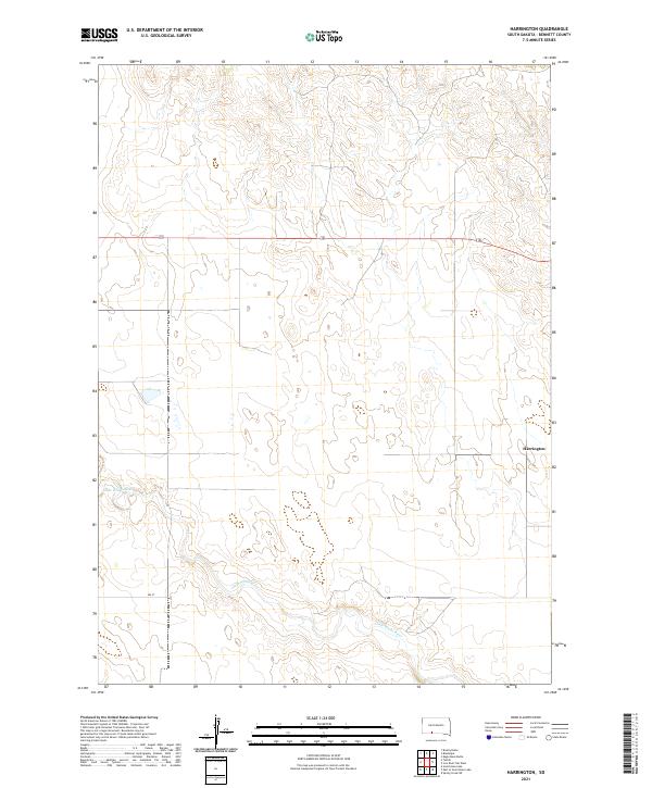
2021 Harrington
Bennett County, SD
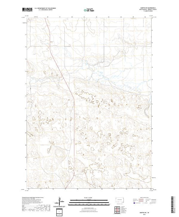
2021 Martin SW
Bennett County, SD
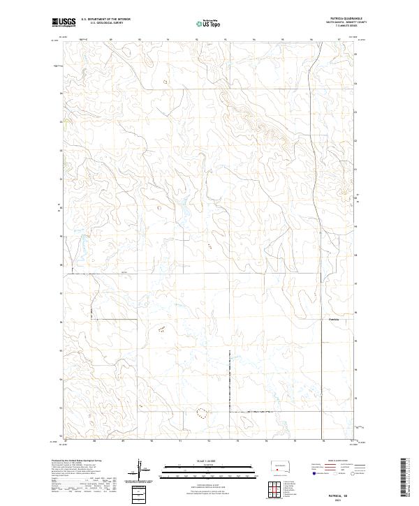
2021 Patricia
Bennett County, SD
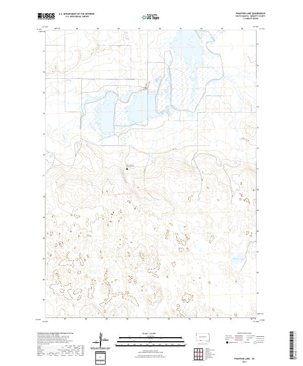
2021 Phantom Lake
Bennett County, SD
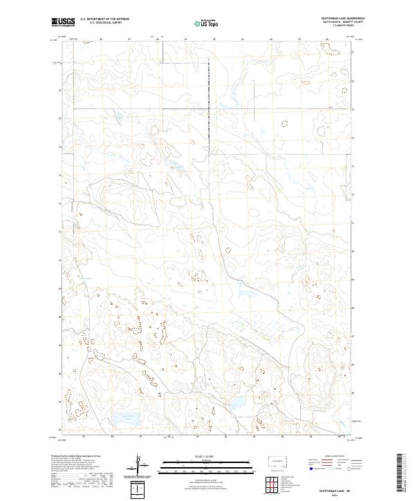
2021 Scotchman Lake
Bennett County, SD
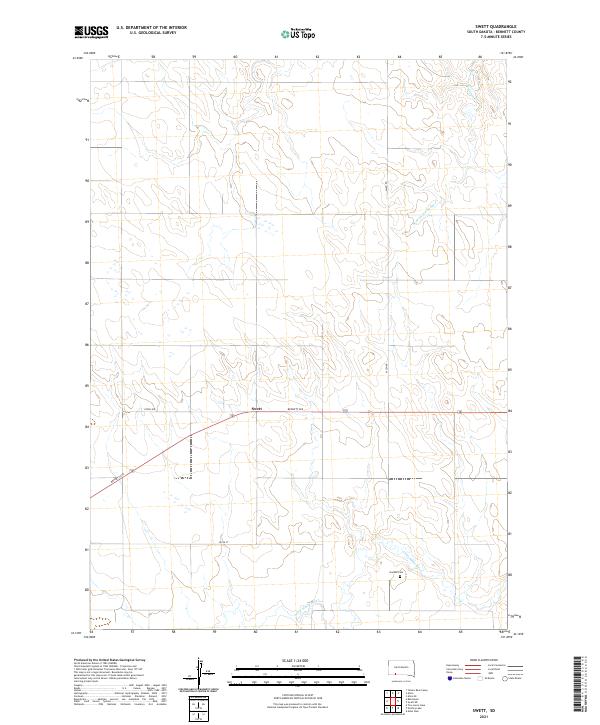
2021 Swett
Bennett County, SD
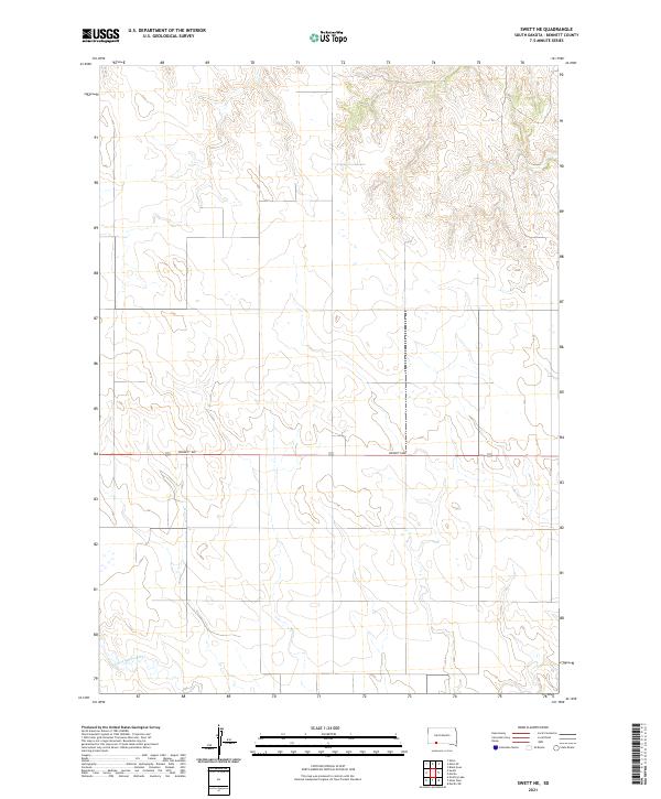
2021 Swett NE
Bennett County, SD
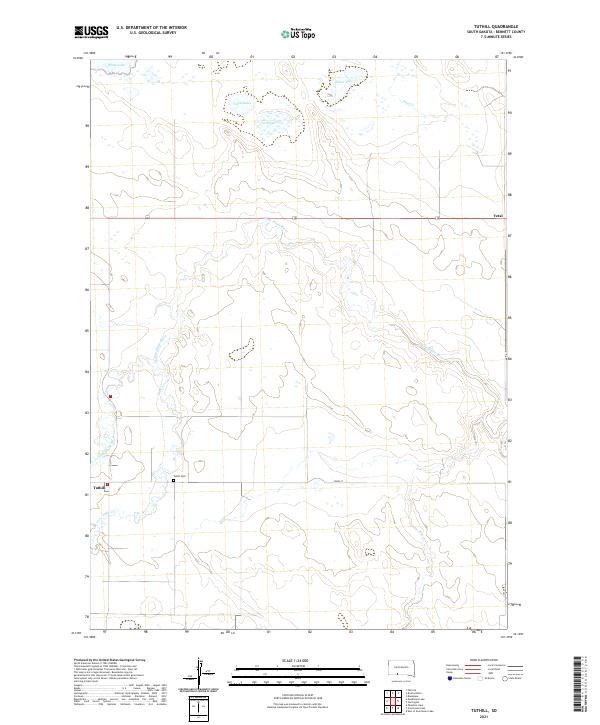
2021 Tuthill
Bennett County, SD
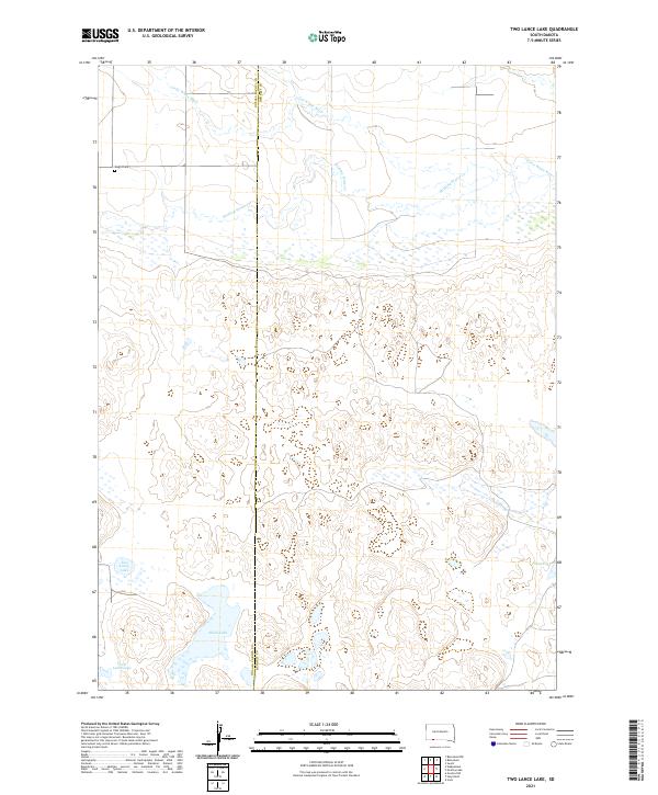
2021 Two Lance Lake
Bennett County, SD
2021 Yellow Bear Camp
Bennett County, SD