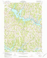
1961 Map of Deersville
USGS Topo · Published 1984About this map
Deersville stands as a central hilltop settlement in this portion of Harrison County, surrounded by the engineered landscapes of the Muskingum Watershed Conservancy District. The 1960s terrain is dominated by two massive water projects: Tappan Reservoir to the north and Clendening Reservoir to the south. These man-made lakes, with their intricate shorelines, have transformed the valley floors of Little Stillwater Creek and Brushy Fork into recreational hubs, evidenced by the Tappan Lake Park and youth retreats like Fort Steuben Camp and the YMCA Camp.
Find a feature on this map
38 named features on this map. Tap any name to fly to it.
Don’t see what you’re looking for? This feature index may not catch every label — zoom into the map to look around manually.
Map Details
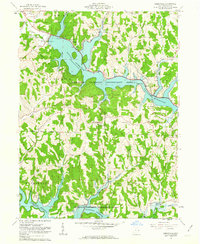
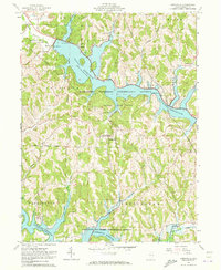
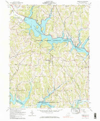
Editions of this 1961 Deersville Map
4 editions found
Other maps of this area

1902 · Scio
USGS Topo · 1:62,500

1903 · Flushing
USGS Topo · 1:62,500

1904 · Scio
USGS Topo · 1:62,500

1905 · Flushing
USGS Topo · 1:62,500

1909 · Antrim
USGS Topo · 1:48,000

1909 · Uhrichsville
USGS Topo · 1:62,500

1911 · Antrim
USGS Topo · 1:62,500

1911 · Uhrichsville
USGS Topo · 1:62,500

1951 · Canton
USGS Topo · 1:250,000

1953 · Canton
USGS Topo · 1:250,000