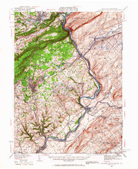
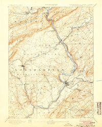
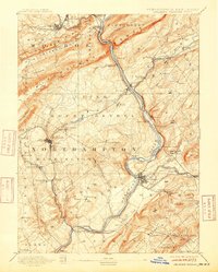
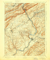
1893 Map of Delaware Water Gap
USGS Topo · Published 1893This historical map portrays the area of Delaware Water Gap in 1893, primarily covering Monroe County as well as portions of New Jersey. Featuring a scale of 1:62500, this map provides a highly detailed snapshot of the terrain, roads, buildings, counties, and historical landmarks in the Delaware Water Gap region at the time. Published in 1893, it is one of 12 known editions of this map due to revisions or reprints.
Map Details
Editions of this 1893 Delaware Water Gap Map
12 editions found
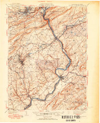
1893 edition
15.8 x 20 inches
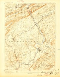
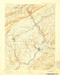
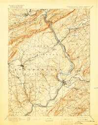
1897 edition
15.8 x 20.2 inches
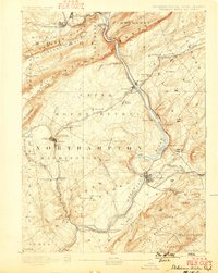
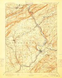
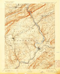
1899 edition
15.8 x 19.8 inches
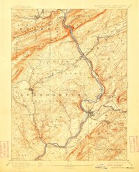
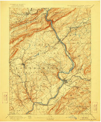
1904 edition
16 x 20 inches
1907 edition
16 x 20 inches
1909 edition
16 x 19.9 inches
1912 edition
16 x 19.9 inches
1915 edition
16 x 19.9 inches
1919 edition
16 x 20.4 inches
1920 edition
16 x 19.8 inches
1922 edition
16.5 x 20 inches
1930 edition
16.5 x 20 inches
Historical Maps of Monroe County Through Time
4 maps found