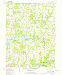
1959 Map of Dellroy
USGS Topo · Published 1978About this map
Atwood Lake and Leesville Lake dominate this eastern Ohio landscape, both part of the Muskingum Watershed Conservancy District. Managed for flood control and recreation, these reservoirs are surrounded by a mix of wooded hills and active resource extraction. The village of Dellroy sits prominently at the head of a southern bay of Atwood Lake, while the larger community of Sherrodsville anchors the southwestern corner of the sheet. Between these settlements, the topography is marked by numerous industrial signatures, including an extensive network of strip mines, oil wells, and pits, reflecting the regional reliance on the coal and petroleum industries. Rural life remains visible through numerous country churches and historic burial grounds such as Union Valley Ch, Seceders Cem, and Macedonia Cem. Extensive transportation infrastructure like the Old Railroad Grade and several regional pipelines cut across Baxter Ridge, following the terrain carved by Indian Fork and Huff Run.
Find a feature on this map
57 named features on this map. Tap any name to fly to it.
Don’t see what you’re looking for? This feature index may not catch every label — zoom into the map to look around manually.
Map Details
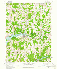
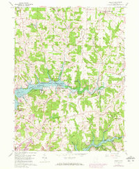
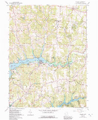
Editions of this 1959 Dellroy Map
4 editions found
Other maps of this area

1902 · Scio
USGS Topo · 1:62,500

1904 · Scio
USGS Topo · 1:62,500

1909 · Uhrichsville
USGS Topo · 1:62,500

1910 · Carrollton
USGS Topo · 1:62,500

1911 · Uhrichsville
USGS Topo · 1:62,500

1912 · Dover
USGS Topo · 1:62,500

1912 · Carrollton
USGS Topo · 1:62,500

1944 · Dover
USGS Topo · 1:62,500

1951 · Canton
USGS Topo · 1:250,000

1953 · Canton
USGS Topo · 1:250,000