
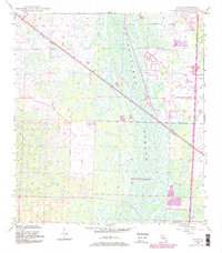
1945 Map of Delta
USGS Topo · Published 1961About this map
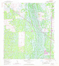
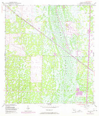
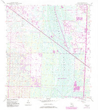
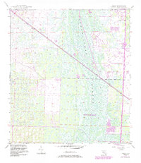
Loxahatchee Slough dominates this mid-1940s landscape, illustrating the intricate, water-laden environment of interior Florida before modern development reshaped the region. The map reveals the early transportation corridors that carved through these wetlands, most notably the Seaboard Air Line railroad which cuts diagonally across the terrain. Near the northern edge of the survey lies the small settlement of Delta, a point of human presence in a territory defined largely by its complex drainage patterns and dense marshland. This document, compiled from aerial photographs and plane-table methods, provides a clear record of the area as it stood just after the war. The presence of the Sunshine State Parkway further south indicates the early evolution of the road network that would eventually support the growth of the Palm Beach area, while much of the quadrangle remains an mosaic of uninhabited wetlands and islands.
Find a feature on this map
4 named features on this map. Tap any name to fly to it.
Don’t see what you’re looking for? This feature index may not catch every label — zoom into the map to look around manually.
Map Details
Editions of this 1945 Delta Map
6 editions found
Other maps of this area

1946 · Riviera Beach
USGS Topo · 1:24,000

1946 · Palm Beach Farms
USGS Topo · 1:24,000

1946 · Palm Beach
USGS Topo · 1:24,000

1948 · Rood
USGS Topo · 1:24,000

1948 · Jupiter
USGS Topo · 1:24,000

1949 · Rood
USGS Topo · 1:24,000

1949 · Palm Beach Farms
USGS Topo · 1:24,000

1949 · Riviera Beach
USGS Topo · 1:24,000

1950 · Jupiter
USGS Topo · 1:24,000

1950 · Delta
USGS Topo · 1:24,000