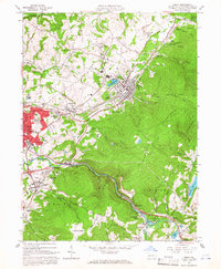
1964 Map of Derry
USGS Topo · Published 1966About this map
Chestnut Ridge dominates the eastern landscape of this Westmoreland County region, where the industrial footprint of coal and steel is deeply etched into the terrain. Numerous strip mines and mines dot the hillsides above settlements like Superior, Atlantic, and Peanut. Near the western edge, the expansion of Latrobe is evident, with neighborhoods such as Mechesneytown and Loyalhanna concentrated near the Pennsylvania railroad corridor and the coke ovens. The map provides a detailed view of social and civic anchors in the mid-1960s, from the Sacred Heart School to localized landmarks like Ethel Springs Lake and the Kenametal Reservoir. Along the winding Loyalhanna Creek, the transition from the rugged ridge to the valley floor is marked by features like Buttermilk Falls and the scattered homes of Longbridge, reflecting a landscape shaped by both natural topography and intensive resource extraction.
Find a feature on this map
81 named features on this map. Tap any name to fly to it.
Don’t see what you’re looking for? This feature index may not catch every label — zoom into the map to look around manually.
Map Details
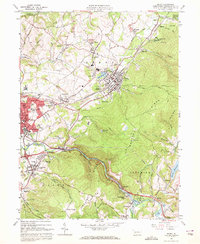
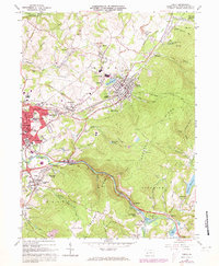
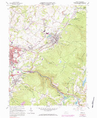
Editions of this 1964 Derry Map
4 editions found
Other maps of this area

1900 · Latrobe
USGS Topo · 1:62,500

1902 · Latrobe
USGS Topo · 1:62,500

1903 · Latrobe
USGS Topo · 1:62,500

1913 · Somerset
USGS Topo · 1:62,500

1915 · Somerset
USGS Topo · 1:62,500

1920 · New Florence
USGS Topo · 1:62,500

1921 · New Florence
USGS Topo · 1:48,000

1922 · Donegal
USGS Topo · 1:62,500

1922 · New Florence
USGS Topo · 1:62,500

1935 · Donegal
USGS Topo · 1:62,500