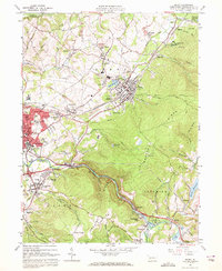
1964 Map of Derry
USGS Topo · Published 1972About this map
Industrial and community life in Westmoreland County is clearly defined on this mid-century survey, where the Pennsylvania RR corridor links the hubs of Derry and Latrobe. The landscape reflects a mix of heavy extractive industry and residential expansion, with numerous active strip mines and the Atlantic Mine surrounding northern settlements like New Derry and Peanut. This era captures the dense network of local institutions that anchored these mining and rail towns, from the Sacred Heart Sch in Youngstown to St Martins Ch and Loyalhanna Sch. To the south and east, the topography rises sharply toward Chestnut Ridge, where the rugged terrain remains largely undeveloped except for the Latrobe Reservoir and the recreation areas at Keystone State Park. Along the winding Loyalhanna Creek, small clusters like Kingston and Longbridge sit near landmarks such as Buttermilk Falls.
Find a feature on this map
70 named features on this map. Tap any name to fly to it.
Don’t see what you’re looking for? This feature index may not catch every label — zoom into the map to look around manually.
Map Details
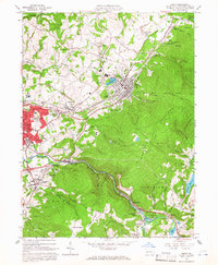
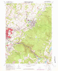
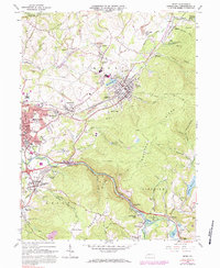
Editions of this 1964 Derry Map
4 editions found
Other maps of this area

1900 · Latrobe
USGS Topo · 1:62,500

1902 · Latrobe
USGS Topo · 1:62,500

1903 · Latrobe
USGS Topo · 1:62,500

1913 · Somerset
USGS Topo · 1:62,500

1915 · Somerset
USGS Topo · 1:62,500

1920 · New Florence
USGS Topo · 1:62,500

1921 · New Florence
USGS Topo · 1:48,000

1922 · Donegal
USGS Topo · 1:62,500

1922 · New Florence
USGS Topo · 1:62,500

1935 · Donegal
USGS Topo · 1:62,500