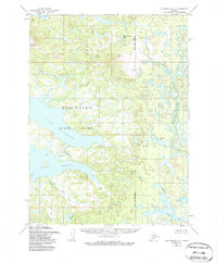
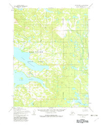
1954 Map of Dillingham C-7
USGS Topo · Published 1987About this map
The interconnected waters of Wood-Tikchik State Park dominate this mid-century survey, illustrating the complex hydrology of Southwest Alaska. A massive system of lakes is connected by short, swift channels, most notably where the Agulukpak R flows from Lake Beverley into Lake Nerka. This waterway, flanked by the Uss 4703 survey marker, represents a critical transition point in the local drainage basin.
Find a feature on this map
19 named features on this map. Tap any name to fly to it.
Don’t see what you’re looking for? This feature index may not catch every label — zoom into the map to look around manually.
Map Details
Editions of this 1954 Dillingham C-7 Map
3 editions found
Other maps of this area

1951 · Dillingham
USGS Topo · 1:250,000

1954 · Dillingham
USGS Topo · 1:250,000

1954 · Dillingham C-6
USGS Topo · 1:63,360

1954 · Dillingham D-6
USGS Topo · 1:63,360

1954 · Dillingham D-7
USGS Topo · 1:63,360

1954 · Dillingham B-7
USGS Topo · 1:63,360

1954 · Dillingham B-8
USGS Topo · 1:63,360

1954 · Dillingham B-6
USGS Topo · 1:63,360

1954 · Dillingham D-8
USGS Topo · 1:63,360

1954 · Dillingham C-7
USGS Topo · 1:63,360