
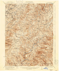
1935 Map of Donegal
USGS Topo · Published 1935About this map
The ridge-and-valley landscape of the Laurel Highlands is captured here in the mid-1930s, defined by the winding paths of Indian Creek and the Baltimore and Ohio railroad corridor. This survey illustrates the dense network of rural infrastructure supporting the mining and agricultural communities of Mount Pleasant and Donegal townships. Large-scale topographic detail reveals numerous isolated public institutions, from the Stauffer School to the St Boniface Chapel, alongside industrial markers like Horner Mill.
Find a feature on this map
111 named features on this map. Tap any name to fly to it.
Don’t see what you’re looking for? This feature index may not catch every label — zoom into the map to look around manually.
Map Details
Editions of this 1935 Donegal Map
2 editions found
Other maps of this area

1900 · Uniontown
USGS Topo · 1:62,500

1900 · Latrobe
USGS Topo · 1:62,500

1902 · Latrobe
USGS Topo · 1:62,500

1902 · Connellsville
USGS Topo · 1:62,500

1903 · Latrobe
USGS Topo · 1:62,500

1904 · Greensburg
USGS Topo · 1:62,500

1906 · Greensburg
USGS Topo · 1:62,500

1913 · Somerset
USGS Topo · 1:62,500

1915 · Somerset
USGS Topo · 1:62,500

1920 · New Florence
USGS Topo · 1:62,500