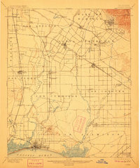
1902 Map of Downey
USGS Topo · Published 1911About this map
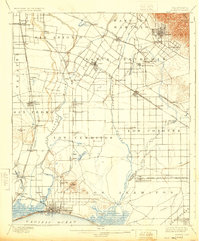
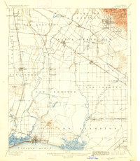
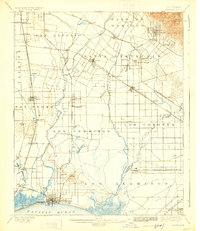
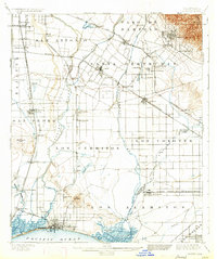
The Los Angeles River and San Gabriel River systems define this agricultural landscape before the massive suburban expansion of the mid-20th century. In this era, Downey serves as a central hub for a network of rail-dependent settlements like Santa Fe Springs and Compton. The presence of the Poor Farm Sta. and numerous family-named stations such as Obed Bell Sta. and Studebaker highlights a rural economy still organized around small transit stops and land grants. To the south, the coastline shows the early development of Long Beach and Alamitos Beach near Rattlesnake Island, long before the intensive industrialization of San Pedro Bay. Land divisions reflect the legacy of Spanish and Mexican ranchos, with boundary lines for Los Cerritos and Paso de Bartolo still visible across the open terrain.
Find a feature on this map
75 named features on this map. Tap any name to fly to it.
Don’t see what you’re looking for? This feature index may not catch every label — zoom into the map to look around manually.
Map Details
Editions of this 1902 Downey Map
9 editions found

Other maps of this area

1894 · Los Angeles
USGS Topo · 1:62,500

1894 · Pomona
USGS Topo · 1:62,500

1896 · Santa Ana
USGS Topo · 1:62,500

1896 · Pasadena
USGS Topo · 1:62,500

1896 · Anaheim
USGS Topo · 1:62,500

1896 · Redondo
USGS Topo · 1:62,500

1896 · Las Bolsas
USGS Topo · 1:62,500

1896 · Santa Monica
USGS Topo · 1:62,500

1896 · San Pedro
USGS Topo · 1:62,500

1896 · Downey
USGS Topo · 1:62,500