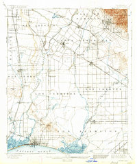
1902 Map of Downey
USGS Topo · Published 1934About this map
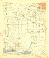
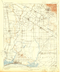
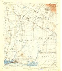
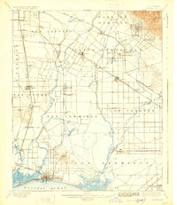
Santa Gertrudis and Los Cerritos ranchos dominate the landscape of the southern Los Angeles basin at the turn of the century, long before the region’s suburban transformation. The survey reveals a coastal plain defined by a dense web of steam railroads, including several specialized branches like the Southern Pacific R. R. Whittier Branch and the San Pedro Branch. Agricultural and early industrial hubs such as Downey, Whittier, and Santa Fe Springs are clearly established near water sources like the Rio Honda and San Gabriel River.
Find a feature on this map
77 named features on this map. Tap any name to fly to it.
Don’t see what you’re looking for? This feature index may not catch every label — zoom into the map to look around manually.
Map Details
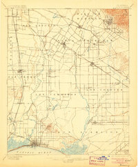
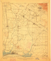
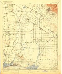
Editions of this 1902 Downey Map
9 editions found

Other maps of this area

1894 · Los Angeles
USGS Topo · 1:62,500

1894 · Pomona
USGS Topo · 1:62,500

1896 · Santa Ana
USGS Topo · 1:62,500

1896 · Pasadena
USGS Topo · 1:62,500

1896 · Anaheim
USGS Topo · 1:62,500

1896 · Redondo
USGS Topo · 1:62,500

1896 · Las Bolsas
USGS Topo · 1:62,500

1896 · Santa Monica
USGS Topo · 1:62,500

1896 · San Pedro
USGS Topo · 1:62,500

1896 · Downey
USGS Topo · 1:62,500