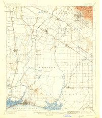
1902 Map of Downey
USGS Topo · Published 1926About this map
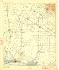
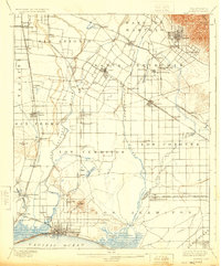
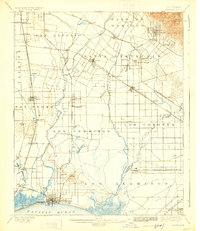
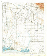
Downey and its surrounding ranchos appear as a burgeoning agricultural and transit hub in this late 19th-century survey. The landscape is defined by the extensive Southern Pacific R.R. and Atchison Topeka and Santa Fe R.R. networks that connected inland settlements like Whittier and Santa Fe Springs to the coast. The map illustrates a transitional era before the massive urban expansion of the Los Angeles basin, showing individual farmsteads and specialized stops like Poor Farm Sta. alongside established towns like Compton and Artesia. Waterways such as the Rio Hondo and San Gabriel River dominate the drainage pattern toward San Pedro Bay, while prominent landforms like Signal Hill and Dominguez Hill stand as clear landmarks in a region largely subdivided into traditional Spanish and Mexican land grants, including Paso De Bartolo and Los Cerritos.
Find a feature on this map
73 named features on this map. Tap any name to fly to it.
Don’t see what you’re looking for? This feature index may not catch every label — zoom into the map to look around manually.
Map Details
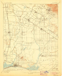
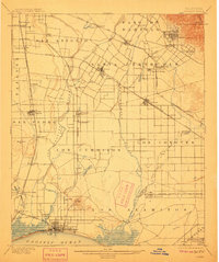
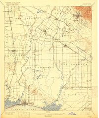
Editions of this 1902 Downey Map
9 editions found

Other maps of this area

1894 · Los Angeles
USGS Topo · 1:62,500

1894 · Pomona
USGS Topo · 1:62,500

1896 · Santa Ana
USGS Topo · 1:62,500

1896 · Pasadena
USGS Topo · 1:62,500

1896 · Anaheim
USGS Topo · 1:62,500

1896 · Redondo
USGS Topo · 1:62,500

1896 · Las Bolsas
USGS Topo · 1:62,500

1896 · Santa Monica
USGS Topo · 1:62,500

1896 · San Pedro
USGS Topo · 1:62,500

1896 · Downey
USGS Topo · 1:62,500