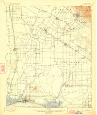
1902 Map of Downey
USGS Topo · Published 1923About this map
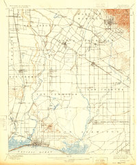
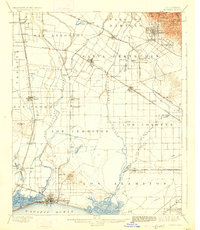
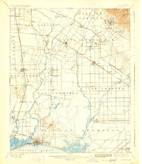
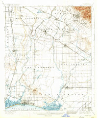
The San Gabriel River and Los Angeles River define this coastal plain during a period of agricultural expansion and early rail development. Large Mexican land grant divisions like Santa Gertrudis, Los Cerritos, and Los Alamitos still organize the landscape, even as newer settlements like Downey and Artesia emerge along the growing transportation corridors. The map highlights the transition from cattle ranching to smaller farm plots and the rise of citrus and oil-related activity, evidenced by the clustered structures at Whittier and the presence of Bouton Well.
Find a feature on this map
80 named features on this map. Tap any name to fly to it.
Don’t see what you’re looking for? This feature index may not catch every label — zoom into the map to look around manually.
Map Details
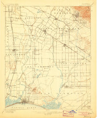
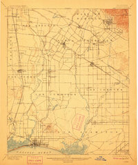
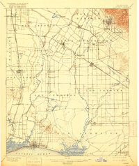
Editions of this 1902 Downey Map
9 editions found

Other maps of this area

1894 · Los Angeles
USGS Topo · 1:62,500

1894 · Pomona
USGS Topo · 1:62,500

1896 · Santa Ana
USGS Topo · 1:62,500

1896 · Pasadena
USGS Topo · 1:62,500

1896 · Anaheim
USGS Topo · 1:62,500

1896 · Redondo
USGS Topo · 1:62,500

1896 · Las Bolsas
USGS Topo · 1:62,500

1896 · Santa Monica
USGS Topo · 1:62,500

1896 · San Pedro
USGS Topo · 1:62,500

1896 · Downey
USGS Topo · 1:62,500