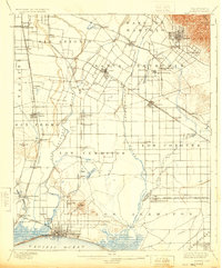
1902 Map of Downey
USGS Topo · Published 1924About this map
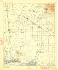
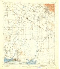
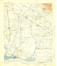
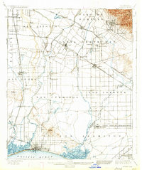
Large rancho tracts like Paso De Bartolo and Los Cerritos dominate the landscape of the Los Angeles basin in this late-19th-century survey. The region is defined by the shifting courses of the San Gabriel River and Los Angeles River, which cut through a network of emerging agricultural towns and rail junctions. Distinctive markers of the era include the Poor Farm Sta. and the artesian wells of Fulton Wells, reflecting the social and natural resource management of a growing California.
Find a feature on this map
72 named features on this map. Tap any name to fly to it.
Don’t see what you’re looking for? This feature index may not catch every label — zoom into the map to look around manually.
Map Details
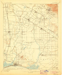
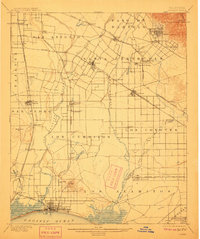
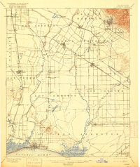
Editions of this 1902 Downey Map
9 editions found

Other maps of this area

1894 · Los Angeles
USGS Topo · 1:62,500

1894 · Pomona
USGS Topo · 1:62,500

1896 · Santa Ana
USGS Topo · 1:62,500

1896 · Pasadena
USGS Topo · 1:62,500

1896 · Anaheim
USGS Topo · 1:62,500

1896 · Redondo
USGS Topo · 1:62,500

1896 · Las Bolsas
USGS Topo · 1:62,500

1896 · Santa Monica
USGS Topo · 1:62,500

1896 · San Pedro
USGS Topo · 1:62,500

1896 · Downey
USGS Topo · 1:62,500