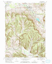
1969 Map of Dryden
USGS Topo · Published 1988About this map
Dryden and its surrounding hill country are defined by a mix of agricultural valley life and dense upland reforestation in the late 1960s. The northern portion of the map is shaped by the Lehigh Valley railroad corridor and the winding course of Virgil Creek, where a Drive-in Theater and Sewage Disposal facility speak to the town's mid-century modernization. To the south, the landscape shifts dramatically into the high ridges of the Yellow Barn State Forest and Hammond Hill State Forest, indicating the legacy of state conservation efforts on formerly marginal farmland.
Find a feature on this map
44 named features on this map. Tap any name to fly to it.
Don’t see what you’re looking for? This feature index may not catch every label — zoom into the map to look around manually.
Map Details
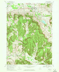
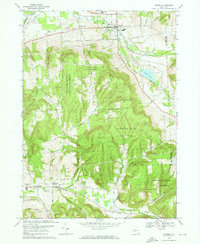
Editions of this 1969 Dryden Map
3 editions found
Other maps of this area

1898 · Moravia
USGS Topo · 1:62,500

1900 · Dryden
USGS Topo · 1:62,500

1902 · Moravia
USGS Topo · 1:62,500

1903 · Cortland
USGS Topo · 1:62,500

1903 · Harford
USGS Topo · 1:62,500

1906 · Catatonk
USGS Topo · 1:125,000

1942 · Groton
USGS Topo · 1:24,000

1943 · West Groton
USGS Topo · 1:31,680

1943 · Groton
USGS Topo · 1:31,680

1944 · Cortland
USGS Topo · 1:31,680