
1967 Map of Dunbar Draw SW
USGS Topo · Published 1969About this map
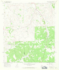
Holman Oil Field anchors the southern portion of this landscape, illustrating the industrial footprint of petroleum extraction in West Texas during the late 1960s. The region is defined by a network of seasonal watercourses, including Cusenbary Draw and McKee Draw, which carve through the terrain between established cattle operations. Local land use is dominated by several family-named properties such as Morris Ranch, Rex Cusenbary Ranch, and Epps Ranch, connected by the unpaved Cusenbary Road.
Find a feature on this map
17 named features on this map. Tap any name to fly to it.
Don’t see what you’re looking for? This feature index may not catch every label — zoom into the map to look around manually.
Map Details
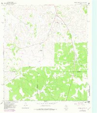
Editions of this 1967 Dunbar Draw SW Map
Other maps of this area

1954 · Sonora
USGS Topo · 1:250,000

1958 · Sonora
USGS Topo · 1:250,000

1967 · Flat Rock Draw SE
USGS Topo · 1:24,000

1967 · Dunbar Draw NW
USGS Topo · 1:24,000

1967 · Dunbar Draw NE
USGS Topo · 1:24,000

1967 · Hudspeth Draw
USGS Topo · 1:24,000

1967 · Dunbar Draw SE
USGS Topo · 1:24,000
1971 · Turney Draw NE
USGS Topo · 1:24,000

1973 · Turney Draw NW
USGS Topo · 1:24,000
1973 · White Draw NE
USGS Topo · 1:24,000