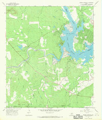
1967 Map of Dunman Mountain
USGS Topo · Published 1970About this map
Lake Lyndon B Johnson dominates the northeastern landscape of this Texas Hill Country survey, where the Colorado River meets the expansive mouth of Sandy Creek. The terrain is characterized by prominent granite and limestone elevations, including Packsaddle Mountain and Dunman Mountain, which overlook a network of tributary hollows like Hogpen Hollow and Lime Hollow.
Find a feature on this map
41 named features on this map. Tap any name to fly to it.
Don’t see what you’re looking for? This feature index may not catch every label — zoom into the map to look around manually.
Map Details
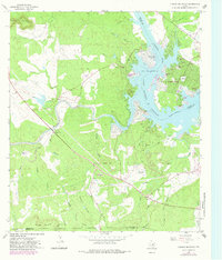
Editions of this 1967 Dunman Mountain Map
2 editions found
Other maps of this area

1887 · Llano
USGS Topo · 1:125,000

1887 · Blanco
USGS Topo · 1:125,000

1887 · Burnet
USGS Topo · 1:125,000

1893 · Burnet
USGS Topo · 1:125,000

1894 · Fredericksburg
USGS Topo · 1:125,000

1894 · Blanco
USGS Topo · 1:125,000

1894 · Llano
USGS Topo · 1:125,000

1903 · Burnet
USGS Topo · 1:125,000

1904 · Llano
USGS Topo · 1:125,000

1909 · Llano
USGS Topo · 1:125,000